Leliter, California
| Leliter | |
|---|---|
| Former settlement | |
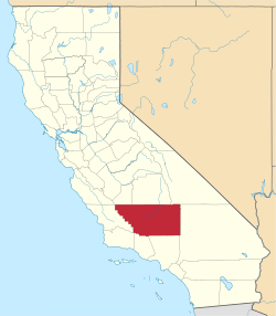
 Leliter Location in California | |
| Coordinates: 35°42′38″N 117°49′49″W / 35.71056°N 117.83028°WCoordinates: 35°42′38″N 117°49′49″W / 35.71056°N 117.83028°W | |
| Country | United States |
| State | California |
| County | Kern County |
| Elevation[1] | 2,303 ft (702 m) |
Leliter (also, Muerto)[2] is a former settlement in Kern County, California.[1] It was located on the Southern Pacific Railroad 4.5 miles (7.2 km) north-northwest of Inyokern,[2] at an elevation of 2303 feet (702 m).[1] Leliter still appeared on maps as of 1943.[1]
A post office operated at Leliter from 1910 to 1927.[2]
References
This article is issued from Wikipedia - version of the 1/17/2011. The text is available under the Creative Commons Attribution/Share Alike but additional terms may apply for the media files.