Muroc, California
For the community formerly with this name, see Edwards, California.
| Muroc | |
|---|---|
| Former settlement | |
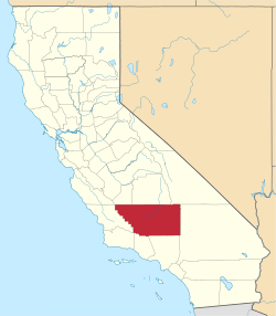
 Muroc Location in California | |
| Coordinates: 34°55′23″N 117°52′20″W / 34.92306°N 117.87222°WCoordinates: 34°55′23″N 117°52′20″W / 34.92306°N 117.87222°W | |
| Country | United States |
| State | California |
| County | Kern County |
| Elevation[1] | 2,283 ft (696 m) |
Muroc (also, Rogers, Rod, Yucca, and Rodriguez)[2] is a former settlement in Kern County, California in the Mojave Desert.[1]
It was located on Rogers Dry Lake 3 miles (4.8 km) east of Edwards,[2] at an elevation of 2283 feet (696 m).[1]
Muroc still appeared on maps as of 1942.[1] Muroc's site is now on Edwards Air Force Base.[2]
A post office operated at Muroc from 1910 to 1951.[2] The name honors early settlers Ralph and Clifford Corum — their surname spelled backwards is "Muroc".[2]
See also
References
This article is issued from Wikipedia - version of the 7/31/2015. The text is available under the Creative Commons Attribution/Share Alike but additional terms may apply for the media files.