East Bakersfield, California
For the Region in Bakersfield, see East Bakersfield.
| East Bakersfield | |
|---|---|
| Unincorporated community | |
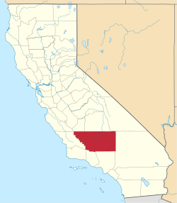
 East Bakersfield  East Bakersfield Location in California | |
| Coordinates: 35°23′12″N 118°58′38″W / 35.38667°N 118.97722°WCoordinates: 35°23′12″N 118°58′38″W / 35.38667°N 118.97722°W | |
| Country | United States |
| State | California |
| County | Kern County |
| Elevation[1] | 495 ft (151 m) |
East Bakersfield is a large unincorporated community in Kern County, California.[1] It lies at an elevation of 495 feet (151 m).[1] It lies to the east and south of the city of Bakersfield, and lies among rolling hills. East Bakersfield's population is approximately 55,000, and has large Hispanic and African American populations. The major school districts in East Bakersfield are the Bakersfield City School District and the Kern Union High School District. East Bakersfield has four high schools, Highland High School (Bakersfield, California), East Bakersfield High School Foothill High School, and Mira Monte High School. The ZIP Code is 93306 and 93307, and the community is inside area code 661.
References
This article is issued from Wikipedia - version of the 10/29/2016. The text is available under the Creative Commons Attribution/Share Alike but additional terms may apply for the media files.