Washington State Route 547
| ||||
|---|---|---|---|---|
|
Map of Whatcom County in northwestern Washington with SR 547 highlighted in red | ||||
| Route information | ||||
| Defined by RCW 47.17.806 | ||||
| Maintained by WSDOT | ||||
| Length: | 10.79 mi[1] (17.36 km) | |||
| Existed: | 1984[2] – present | |||
| Major junctions | ||||
| South end: |
| |||
| North end: |
| |||
| Location | ||||
| Counties: | Whatcom | |||
| Highway system | ||||
| ||||

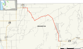
State Route 547 (SR 547) is a Washington state highway located in Whatcom County, south of the Canada–US border. The 10.79-mile (17.36 km) long route runs northwest from SR 542 in Kendall to SR 9 in Sumas. The highway was originally created in 1984, but a road extending from Kendall to Sumas has been on maps since 1966 along the Sumas–Glacier route of the Chicago, Milwaukee, St. Paul and Pacific Railroad.
Route description
State Route 547 begins at a junction with SR 542 in Kendall, located northwest of Mount Baker.[3] At the intersection, the highway is named Kendall Road and turns north towards the Canada–US border.[1][3] After passing Kendall Elementary School,[4] the route crosses Kendall Creek to enter Balford.[1][3] SR 547 turns northwest and passes the Bakers Edge Golf Course, Peaceful Valley and Columbia before turning west and becoming Reese Hill Road.[1][3] The highway turns north to become Hillview Road and later Sumas Road before curving west towards Sumas as Rock Road and Front Street before crossing the Sumas River into Sumas. The roadway ends at an intersection with SR 9, about 0.67 miles (1.08 km) south of the Canada–US border.[1][3]
History
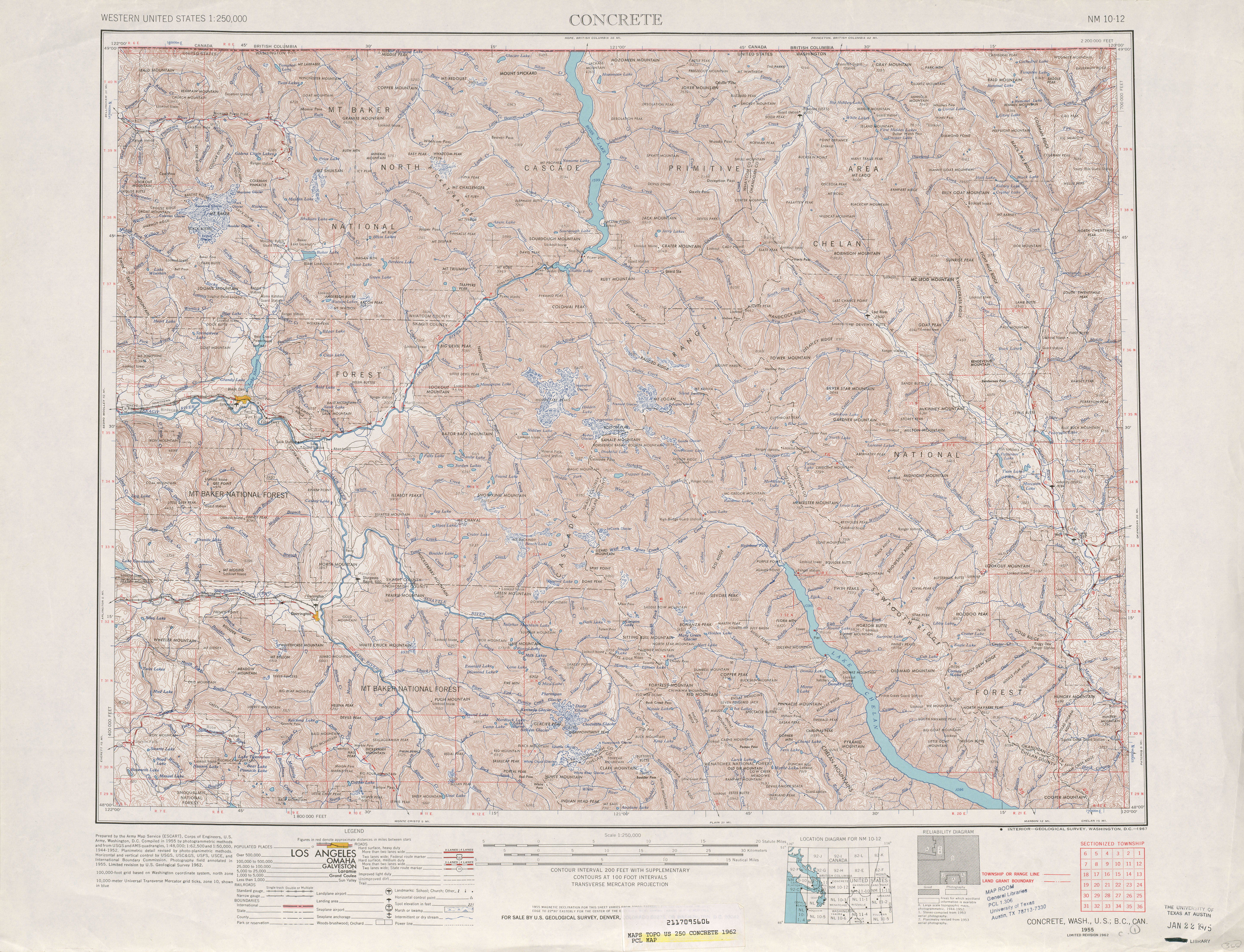
The current route of SR 547 first appeared on a map in 1966, when it followed the route of the now defunct Sumas–Glacier route of the Chicago, Milwaukee, St. Paul and Pacific Railroad.[5][6] In 1984, the Washington State Legislature and Washington State Department of Transportation added the road to the state highway system.[2]
Major intersections
The entire route is in Whatcom County.
| Location | mi[1] | km | Destinations | Notes | |
|---|---|---|---|---|---|
| Kendall | 0.00 | 0.00 | |||
| Sumas | 10.79 | 17.36 | |||
| 1.000 mi = 1.609 km; 1.000 km = 0.621 mi | |||||
References
- 1 2 3 4 5 6 Washington State Department of Transportation (2006). "State Highway Log: Planning Report, SR 2 to SR 971" (PDF). Retrieved June 3, 2009.
- 1 2 Washington State Legislature. "RCW 47.17.806: State Route 547". Retrieved June 3, 2009.
- 1 2 3 4 5 Google (June 3, 2009). "State Route 547" (Map). Google Maps. Google. Retrieved June 3, 2009.
- ↑ Mount Baker School District (2009). "Kendall Elementary School". Retrieved June 10, 2009.
- ↑ Victoria, 1966 (Map). 1:250,000. Cartography by United States Geological Survey. University of Texas at Austin. 1966. Retrieved June 3, 2009.
- ↑ Concrete, 1962 (Map). 1:250,000. Cartography by United States Geological Survey. University of Texas at Austin. 1962. Retrieved June 3, 2009.