Washington State Route 530
| ||||
|---|---|---|---|---|
| Pioneer Highway | ||||
|
SR 530 is highlighted in red. | ||||
| Route information | ||||
| Auxiliary route of I‑5 | ||||
| Defined by RCW 47.17.755 | ||||
| Maintained by WSDOT | ||||
| Length: | 50.52 mi[1] (81.30 km) | |||
| Existed: | 1964[2] – present | |||
| Major junctions | ||||
| West end: |
| |||
|
| ||||
| East end: |
| |||
| Highway system | ||||
| ||||


State Route 530 (SR 530) is a Washington state highway in Snohomish and Skagit counties. The 50.52-mile (81.30 km) long route runs northeast from an interchange with Interstate 5 (I-5) southwest of Arlington past SR 9 in Arlington and Darrington to end at SR 20 in Rockport. Serving the communities of Arlington, Arlington Heights, Oso, Darrington and Rockport, the roadway travels parallel to a fork of the Stillaguamish River from Arlington to Darrington, the Sauk River from Darrington to Rockport and a BNSF Railway route that extends from Arlington to Cicero, located west of Oso.
The first segment of SR 530 to appear on a map was a road extending from Arlington to Oso in 1899. The first segment to be state-maintained was Secondary State Highway 1E (SSH 1E), which ran from Conway to Arlington. SSH 1E was extended to Darrington in 1957 and later renumbered to SR 530 in 1964; the road was extended to Rockport in 1983 and later the route from Conway to I-5 was removed from the system in 1991. Since 1991, minor construction projects arranged by the Washington State Department of Transportation (WSDOT) have improved the roadway and WSDOT plans to realign the highway near the Sauk River.
Route description
State Route 530 (SR 530) begins at a diamond interchange with Interstate 5 (I-5) southwest of Arlington, 0.78 miles (1.26 km) south of where I-5 crosses the Stillaguamish River.[1][3] After the interchange, the highway had a daily average of 22,000 motorists in 2007, which is significantly higher than in 1970 when 5,400 motorists used the stretch of road.[4][5] From the interchange, the highway is named Jackson Road and travels east to intersect Smokey Point Boulevard, which travels south to Smokey Point and was once U.S. Route 99, a major north–south road. After passing the intersection, the roadway continues east through a primarily rural area until it curves north and later east to enter Arlington city limits. Within Arlington, SR 530 intersects SR 9, another north–south highway that the road has a brief concurrency with. After the concurrency, the highway is named Burke Avenue and intersects West Avenue, which was SR 9 before it was realigned to the current western alignment. The roadway becomes the Arlington–Darrington Road after bridging the Stillaguamish River and passing the Twin Rivers County Park, the road turns northeast into Arlington Heights.[6][7][8]


In Trafton, which is located in Arlington Heights, SR 530 passes a residential area and a road that leads to the Jim Creek Naval Radio Station, a United States Navy facility. After leaving Trafton, the road crosses a railroad track used by the BNSF Railway before crossing the North Fork of the Stillaguamish River in Cicero.[9] The highway crosses the tracks and the Stillaguamish River fork near Oso to continue east past several communities. The roadway turns southeast and passes the Darrington Municipal Airport to enter Darrington town limits. Once in Darrington, SR 530 becomes Seeman Street and goes east to an intersection with Seeman Street and Emmens Street. Emmens Street is also named the Mountain Loop Highway, which travels southwest to connect National Forest Route 20 and SR 92 in Granite Falls. At the intersection, the road turns north and leaves Darrington to follow the Sauk River. Outside of Darrington, the roadway travels north, briefly entering the boundaries of the Mount Baker National Forest and leaves Snohomish County. After entering Skagit County, SR 530 crosses the Sauk River and heads north to cross the Skagit River and end at an intersection with SR 20 in Rockport.[6][7][10]
Former route (1964–1991)
From 1964 until 1991,[11][12] SR 530 began at an interchange with I-5 in Conway and traveled southeast to I-5 again at the current western terminus and then followed the current route. The former routing, now called the Pioneer Highway, followed the Seattle–Vancouver, BC route of the Great Northern Railway served by the International from Conway to Silvana.[9][13] The former route began at a diamond interchange with I-5 in Conway, which was also the western terminus of SR 534.[14] From the interchange, the roadway traveled west to Fir Island Road, which travels west across the South Fork of the Skagit River to Fir Island. The road then turned south to parallel railroad tracks owned by the Great Northern Railway and also parallel the South Fork of the Skagit River. At Milltown, SR 530 intersected Milltown Road, which would later interchange with I-5 to the east.[15] South of Milltown and west of Lake Ketchum, the route crossed into Snohomish County.[10] After crossing into Snohomish County and passing Lake Ketchum, SR 530 traveled south to a junction with the Old Pacific Highway and turned southeast into North Stanwood. The highway exited North Stanwood to enter Stanwood, where it intersected SR 532. The roadway curved southeast and passed Sunday Lake, some residential areas and Norman before entering Silvana. After Silvana, the road continued southeast and later eastward to interchange with I-5.[7][16]
History
.png)
The current route of SR 530 first appeared on a map around 1899, when a road following the North Fork of the Stillaguamish River ended east of Oso.[17] A map published in 1911 showed a road traveling from Conway southeast past Stanwood and Arlington towards Oso and Darrington.[18] The first state-maintained highway that used a section of the current roadway was Secondary State Highway 1E (SSH 1E), which was established in 1937 during the creation of the Primary and secondary highways; SSH 1E ran from an intersection with Primary State Highway 1 (PSH 1) in Conway south to what would become SSH 1Y in 1945 in Stanwood (then called East Stanwood) and east past PSH 1 again to SSH 1A in Arlington.[19][20] SSH 1E was later extended in 1957 past SSH 1A in Arlington to the Mountain Loop Highway in Darrington,[21] which had been finished by late 1941.[22][23]
During the 1964 highway renumbering, SSH 1E became SR 530,[2] SSH 1A became SR 9 and SSH 1Y became SR 532;[11][24] from 1964 until 1983, SR 530 was 49.07 miles (78.97 km) long.[5] On December 26, 1980, SR 530 was closed between Stanwood and Silvana due to a flood that caused the Stillaguamish River to overflow from its banks, which the highway parallels.[25] The roadway was extended 18.64 miles (30.00 km) north from Darrington to SR 20 in Rockport, making the highway a total of 68.34 miles (109.98 km) and both termini being in Skagit County.[1][5] SR 530 was later shortened 16.98 miles (27.33 km),[5] moving the western terminus to an interchange with I-5 southwest of Arlington.[12]
Since being shortened, five minor construction projects, arranged by the Washington State Department of Transportation (WSDOT), have occurred.[26][27] The confluence of the Sauk and Suiattle rivers have eroded the riverbank that supports the road north of Darrington.[28] Wilder Construction Inc. of Bellingham was hired by WSDOT to stabilize the riverbank to prevent the highway collapsing into the river.[29] The project was completed in December 2007 and took place between Darrington and Rockport.[30][31] A temporary rock wall was also constructed to protect SR 530 and will be removed once WSDOT realigns the highway north of Darrington,[32][33] which is expected to be completed after 2011.[34][35]
On March 22, 2014, a three-mile section of SR 530 in northern Snohomish County, roughly midway between Darrington and Arlington, was completely blocked by the Oso landslide. The highway was cleared enough by May 31 to open one lane of escorted traffic. Because the highway was badly damaged, and because the topography of the area had been altered by the landslide, WSDOT decided to elevate that section of the highway when it was rebuilt. As of July 27, 2014, the first of four stages in rebuilding the highway had been completed. The new roadway was opened September 22,[36] and the project is expected to be finished in early October 2014.[37]
Major intersections
| County | Location | mi[1] | km | Destinations | Notes |
|---|---|---|---|---|---|
| Snohomish | | 0.00 | 0.00 | Pioneer Highway – Silvana, Stanwood | Western terminus; roadway continues beyond I-5 as Pioneer Highway, formerly SR 530 |
| | 0.37 | 0.60 | Smokey Point Boulevard – Smokey Point, Marysville | Former US 99 | |
| Arlington | 3.84 | 6.18 | Western end of SR 9 concurrency | ||
| 3.95 | 6.36 | Eastern end of SR 9 concurrency | |||
| 4.04 | 6.50 | West Avenue | |||
| Darrington | 31.88 | 51.31 | |||
| Skagit | Rockport | 50.52 | 81.30 | Eastern terminus | |
| 1.000 mi = 1.609 km; 1.000 km = 0.621 mi | |||||
References
- 1 2 3 4 Washington State Department of Transportation (2006). "State Highway Log: Planning Report, SR 2 to SR 971" (PDF). Retrieved June 14, 2009.
- 1 2 Washington State Legislature. "RCW 47.17.755: State route No. 530". Retrieved June 14, 2009.
- ↑ Washington State Department of Transportation (September 15, 2004). "SR 5 – Exit 208; Junction SR 530 / Pioneer Highway East" (PDF). Retrieved June 14, 2009.
- ↑ Washington State Department of Transportation (2007). "2007 Annual Traffic Report" (PDF). Retrieved June 14, 2009.
- 1 2 3 4 Washington State Highway Commission, Department of Highways (1970). "Annual Traffic Report, 1970" (PDF). Washington State Department of Transportation. pp. 202–203. Retrieved June 14, 2009.
- 1 2 Google (June 14, 2009). "State Route 530" (Map). Google Maps. Google. Retrieved June 14, 2009.
- 1 2 3 King, Pierce and Snohomish Counties Street Guide (Map). 1:24,000. Thomas Guide. Cartography by NAVTEQ. Rand McNally. 2008. p. 275, 282, 295–297, 302, 316–317. § 275: 1A, 2A, 3A, 6A, 7A; 282: 5H, 5I, 6A, 6B, 6C, 6D, 6G, 6H, 7D, 7E, 7G; 295: 1A, 2A, 2B, 3B, 3C, 4C, 4D, 4E, 4F, 4G, 4J, 5H, 5J; 296: 5A, 5B, 6B, 7A, 7B; 297: 3J, 4G, 4H, 4J, 5F, 5G, 6E, 7D, 73; 302: 1E, 1F, 1G; 316: 1A, 1B, 2B, 2C, 3C, 3D, 3E, 3F, 3G, 3H, 3J; 317: 1C, 1D, 2B, 2C, 3A, 3B. ISBN 0-528-86671-0.
- ↑ City of Arlington: Display Map (PDF) (Map). 1 in. = 750 ft. City of Arlington. March 26, 2009. Retrieved June 14, 2009.
- 1 2 Washington State Railroad System (PDF) (Map). Cartography by United States Geological Survey. Washington State Department of Transportation. September 2008. Retrieved June 14, 2009.
- 1 2 Skagit Count: Mount Vernon, Anacortes (Map) (2004 ed.). City Street Maps. G. M. Johnson. 2004. Rockport inset. § F15, F16, G15, G16; AR35, AR36, AS35, AT35, AU35, AV35, AW 35, AW 36. ISBN 1-894570-90-1. Retrieved June 14, 2009.
- 1 2 C. G. Prahl (December 1, 1965). "Identification of State Highways" (PDF). Washington State Highway Commission, Department of Highways. Retrieved June 4, 2009.
- 1 2 Washington House of Representatives (1991). "Chapter 342, Laws of 1991: State Highway Routes – Revisons To (House Bill 5801)". Washington State Legislature. Retrieved June 20, 2009.
Beginning at a junction with state route number 5 ((
at Conway, thence southerly by way of Stanwood, thence southeasterly to a junction with state route number 5, thence easterly to a junction with state route number 9 at)) in the vicinity west of Arlington, thence easterly ((to)) and northerly by way of Darrington((, thence northerly)) to a junction with state route number 20 ((at)) in the vicinity of Rockport. - ↑ Great Northern Railway (1909) (Map). General Passenger Department of the Great Northern Railway. 1909. Retrieved June 20, 2009.
- ↑ Washington State Department of Transportation (September 15, 2004). "SR 5 – Exit 221; Junction SR 534 / Pioneer Highway" (PDF). Retrieved June 14, 2009.
- ↑ Washington State Department of Transportation. "SR 5 – Exit 218; Junction Starbird Road" (PDF). Retrieved June 14, 2009.
- ↑ Google (June 20, 2009). "Former Route of State Route 530" (Map). Google Maps. Google. Retrieved June 20, 2009.
- ↑ Stillaguamish (1899) (Map). 1:125,000. Washington 1:125,000 topographic quadrangles. Cartography by United States Geological Survey. Washington State University. 1899. Retrieved June 14, 2009.
- ↑ Mount Vernon (1911) (Map). 1:125,000. Washington 1:125,000 topographic quadrangles. Cartography by United States Geological Survey. Washington State University. 1911. Retrieved June 14, 2009.
- ↑ Washington State Legislature (March 18, 1937). "Chapter 207: Classification of Public Highways". Session Laws of the State of Washington. Session Laws of the State of Washington (1937 ed.). Olympia, Washington: Washington State Legislature. p. 995. Retrieved June 14, 2009.
(e) Secondary State Highway No. 1E; beginning at Conway on Primary State Highway No. 1, thence in a southerly direction by the most feasible route by way of East Stanwood, thence in a southeasterly direction by the most feasible route to a junction with Primary State Highway No. 1, thence in an easterly direction by the most feasible route to Arlington on Secondary State Highway No. 1A.
- ↑ Washington State Legislature (March 16, 1945). "Chapter 248: Highways and Bridges Within State Parks". Session Laws of the State of Washington. Session Laws of the State of Washington (1945 ed.). Olympia, Washington: Washington State Legislature. p. 729. Retrieved June 14, 2009.
There is hereby established as a branch of Primary State Highway No. 1 a secondary state highway to be known and referred to as Secondary State Highway No. 1Y as follows: Beginning at a junction with Primary State highway No. 1 in the vicinity east of East Stanwood; thence in a westerly direction by the most feasible route to a junction with Secondary State Highway 1E in the vicinity of East Stanwood; thence in a westerly direction by the most feasible route by way of Stanwood and over a bridge to a point on Camano Island known as McEachern's Corner.
- ↑ Washington State Legislature (1957). "Chapter 172". Session Laws of the State of Washington. Session Laws of the State of Washington (1957 ed.). Olympia, Washington: Washington State Legislature. Retrieved June 14, 2009.
- ↑ David A. Cameron (March 4, 2008). "A key part of the work to build the scenic Mountain Loop Highway linking Granite Falls to Darrington (Snohomish County) begins on March 23, 1936". HistoryLink. Retrieved June 14, 2009.
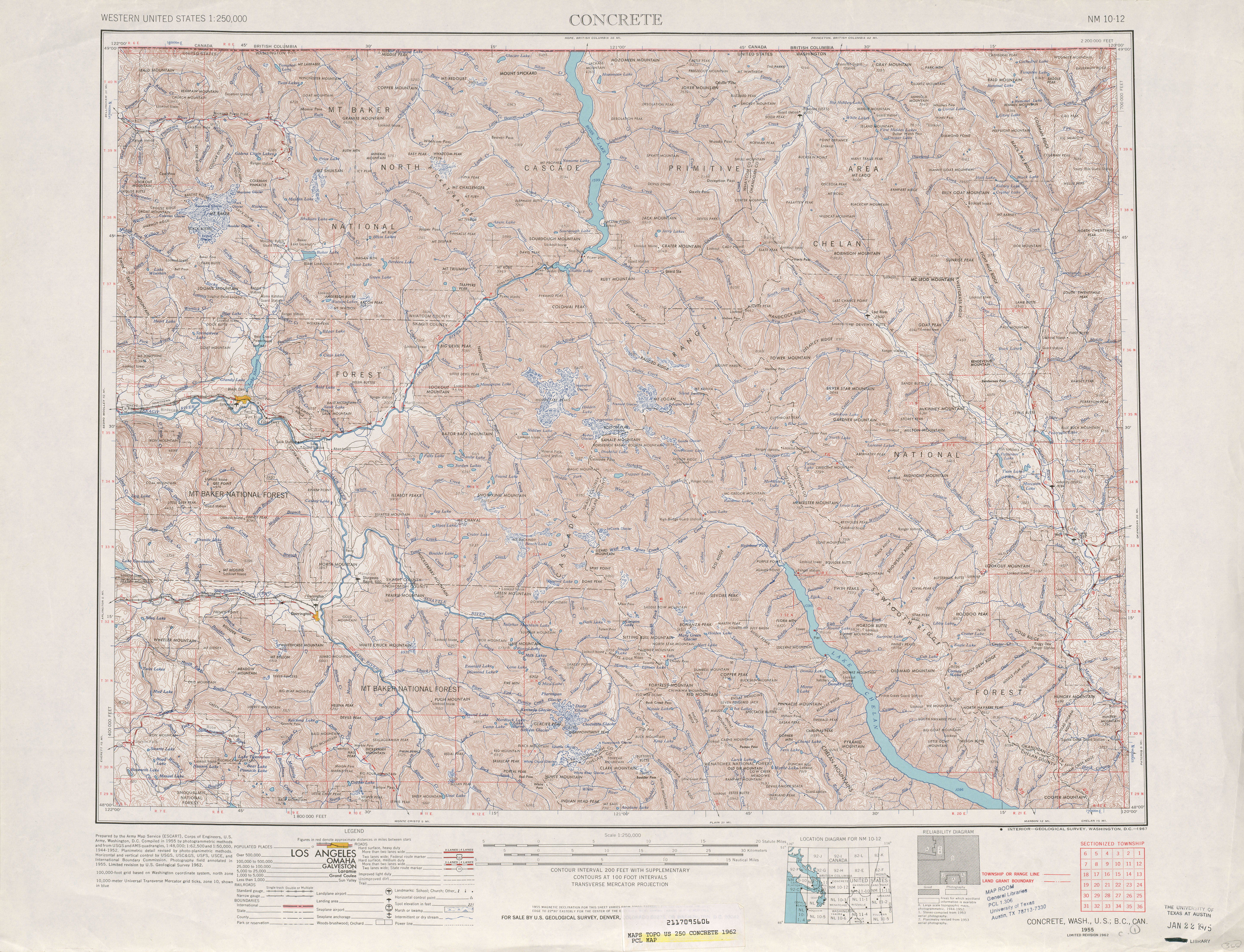
- ↑ United States Geological Survey (1962). Concrete, 1962 (Map). 1:250,000. University of Texas at Austin. Retrieved June 14, 2009.
- ↑ United States Geological Survey (1966). Victoria, 1966 (Map). 1:250,000. University of Texas at Austin. Retrieved June 14, 2009.
- ↑ Cameron, David A. (2005). "Chapter 11: 1965–2004". Snohomish County: An Illustrated History. Index, Washington: Kelcema Books LLC. p. 346. ISBN 0-9766700-0-3. Retrieved June 14, 2009.
U.S. 2 was closed at Monroe, as was S.R. 530 between Silvana and Stanwood.
- ↑ Washington State Department of Transportation (2009). "Agency Projects: Completed Projects for SR 530". Retrieved July 20, 2009.
- ↑ Washington State Department of Transportation (2009). "Agency Projects: Highway, Ferry and Rail Construction and Improvement Projects for SR 530". Retrieved July 20, 2009.
- ↑ Terpening, Dustin (June 18, 2007). "Washout Prompts Emergency Repair on SR 20 East of Rockport; WSDOT Seeks Long-Term Solution to Erosion on SR 20, SR 530". Harrison, Todd; Drye, Jay. Washington State Department of Transportation. Archived from the original on December 30, 2009. Retrieved June 14, 2009.
- ↑ Terpening, Dustin (September 11, 2007). "WSDOT Protects SR 530 from Collapsing into River near Darrington". Marlega, Janice. Washington State Department of Transportation. Archived from the original on December 29, 2009. Retrieved June 14, 2009.
- ↑ Washington State Department of Transportation (2007). "SR 530 – Emergency Road Protection – Darrington – Complete December 2007". Archived from the original on October 7, 2008. Retrieved June 14, 2009.
- ↑ SR 530, Emergency Road Protection (Map). Washington State Department of Transportation. 2009. Retrieved June 14, 2009. Archived October 4, 2012, at the Wayback Machine.
- ↑ Terpening, Dustin (December 12, 2007). "Emergency repairs planned for SR 530 in Skagit County". Soicher, Alan. Washington State Department of Transportation. Archived from the original on December 30, 2009. Retrieved June 14, 2009.
- ↑ Mishler, Bronlea (September 30, 2008). "Crews direct Sauk River away from SR 530 near Rockport". Washington State Department of Transportation. Archived from the original on November 18, 2008. Retrieved June 14, 2009.
- ↑ Washington State Department of Transportation (2009). "SR 530 – Sauk River CED Bank Erosion". Archived from the original on May 1, 2009. Retrieved June 14, 2009.
- ↑ SR 530 – Sauk River CED Bank Erosion (Map). Cartography by Tele Atlas. Washington State Department of Transportation. 2005. Archived from the original on October 4, 2012. Retrieved June 14, 2009.
- ↑ "Highway 530 reopens 6 months after Oso slide". Arlington Times. September 23, 2014. Retrieved September 23, 2014.
- ↑ "Rebuilding SR 530". Washington State Department of Transportation. Retrieved July 28, 2014.
External links