Kimmell, Indiana
| Kimmell | |
|---|---|
| census-designated place | |
 Kimmell | |
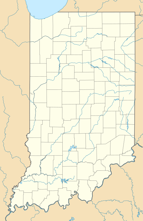
| Coordinates: 41°23′43″N 85°32′54″W / 41.39528°N 85.54833°WCoordinates: 41°23′43″N 85°32′54″W / 41.39528°N 85.54833°W | |
| Country | United States |
| State | Indiana |
| County | Noble |
| Township | Sparta |
| Elevation | 915 ft (279 m) |
| ZIP code | 46760 |
| FIPS code | 18-39744[1] |
| GNIS feature ID | 437309[2] |
Kimmell is an unincorporated census-designated place in Sparta Township, Noble County, Indiana.
Geography
Kimmell is located at 41°23′43″N 85°32′54″W / 41.39528°N 85.54833°W. The first County Seat was located in Sparta, which is now known as Kimmell. It was located on the old Fort Wayne and Goshen Trail. U.S. 33 runs through Kimmell. Just to the south of Kimmell is the Kimmell House Inn. Built in 1876 it is a stately solid brick Italianate Mansion.
Gaerte Grain is the hub of rural Kimmell, with huge silos standing as monuments to this tiny town's rural past and present. Once one of the largest distribution points in the nation for onions, old warehouses still line the tracks of the "B & O" railroad. Noble County's soil made both onion and mint crops some of the country's best. Popcorn was also stored and shipped from Kimmell warehouses, but today's commodities are corn and soybeans.
References
- ↑ "American FactFinder". United States Census Bureau. Retrieved 2008-01-31.
- ↑ "Kimmell, Indiana". Geographic Names Information System. United States Geological Survey. Retrieved 2009-10-17.
