Elinor, California
Coordinates: 40°27′00″N 124°00′57″W / 40.45000°N 124.01583°W
| Elinor | |
|---|---|
| Former settlement | |
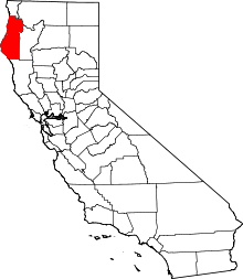
 Elinor Location in California | |
| Coordinates: 40°27′00″N 124°00′57″W / 40.45000°N 124.01583°W | |
| Country | United States |
| State | California |
| County | Humboldt County |
| Elevation[1] | 92 ft (28 m) |
Elinor (also, Camp Five)[2] is a former settlement in Humboldt County, California.[1] It was located 5 miles (8 km) east-southeast of Scotia,[2] at an elevation of 92 feet (28 m).[1] It still appeared on maps as of 1950.[1]
A post office operated at Elinor from 1906 to 1914.[2]
References
This article is issued from Wikipedia - version of the 1/16/2011. The text is available under the Creative Commons Attribution/Share Alike but additional terms may apply for the media files.