Arnold River (Northern Territory)
| Arnold | |
| River | |
| Name origin: Richard Aldous Arnold[1] | |
| Country | Australia |
|---|---|
| Territory | Northern Territory |
| Part of | Roper River |
| Tributaries | |
| - right | Williams Creek (Northern Territory), Horse Creek (Northern Territory) |
| Source | northeast of the Bullwaddy Conservation Reserve |
| - elevation | 262 m (860 ft) |
| - coordinates | 16°18′21″S 134°8′40″E / 16.30583°S 134.14444°E |
| Mouth | Hodgson River |
| - location | south of Hodgson Downs |
| - elevation | 74 m (243 ft) |
| - coordinates | 15°21′48″S 134°8′47″E / 15.36333°S 134.14639°ECoordinates: 15°21′48″S 134°8′47″E / 15.36333°S 134.14639°E |
| Length | 185.8 km (115 mi) |
| Waterholes and lagoons |
Anderson Waterhole; Ambullya Waterhole; Minimere Lagoon; McDonald Lagoon |
 | |
| [2][3] | |
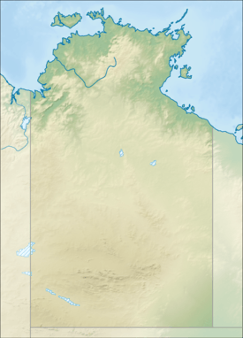
The Arnold River is a river in the north of the Northern Territory of Australia.
Course and features
The Arnold River rises about 30 kilometres (19 mi) northeast of the Bullwaddy Conservation Reserve and north of the Carpentaria Highway. It flows to the town Minamia (Cox River) in the Aboriginal reserve Alawa and then turns northwest and flows about 15 kilometres (9.3 mi) south of Hodgson Downs in the Hodgson River.[4] The river is joined by two tributaries including the Williams and Horse creeks and flows through a series of lagoons and waterholes before reaching its river mouth.[2][3]
Etymology
The river is named for Richard Aldous Arnold, a pastoralist and politician, who purchased a pastoral lease in the area in 1895. The lease was a part of the Hodgson Downs cattle station. He sold his interest in 1905 and continued his political career as Clerk of the Legislative Assembly of New South Wales.[1]
See also
References
- 1 2 "Place Names Register Extract - Arnold River". NT Place Names Register. Northern Territory Government. Retrieved 27 April 2015.
- 1 2 "Map of Arnold River, NT (1)". Bonzle Digital Atlas of Australia. Retrieved 1 May 2015.
- 1 2 "Map of Arnold River, NT (2)". Bonzle Digital Atlas of Australia. Retrieved 1 May 2015.
- ↑ Parish, Steve (2007). Australian Touring Atlas. Archerfield QLD: Steve Parish Publishing. p. S97. ISBN 978-1-74193-232-4.
River systems and rivers of the Northern Territory, Australia | |
|---|---|
| Floodplains | |
| Rivers |
|
| |