Bullwaddy Conservation Reserve
| Bullwaddy Conservation Reserve Northern Territory | |
|---|---|
|
IUCN category Ia (strict nature reserve) | |
 Bullwaddy Conservation Reserve | |
| Nearest town or city | Elliott |
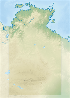
| Coordinates | 16°31′35″S 134°17′3″E / 16.52639°S 134.28417°ECoordinates: 16°31′35″S 134°17′3″E / 16.52639°S 134.28417°E |
| Established | 2000 |
| Area | 115.3 square kilometres (45 sq mi) |
| See also | Protected areas of the Northern Territory |
The Bullwaddy Conservation Reserve is a protected area approximately 120 km (75 mi) north east of Elliott in the Northern Territory of Australia.
The Reserve occupies an area of 115.3 square kilometres (45 sq mi) and was established in the year 2000.[1]
Amungee Mungee cattle station surrounds the Reserve to the north, south and west. Tanumbirini Station abuts the Reserve to the east.[2] The Reserve is found on the Sturt Plateau and the Carpentaria Highway bounds the property to the north.
The Sturt Plateau has infertile, shallow soils on a lateritic land surface. The area supports large stands of Bullwaddy interspersed with dominant area of lancewood.[2]
The traditional owners of the area are the Alawa and Jingili peoples. The first Europeans to arrive in the area were pastoralists who brough cattle to the surrounding plains.
Near threatened animals that are found in the area include Bush stone-curlew, Spectacled hare-wallaby and Northern nailtail wallaby. Other species of interest include Black tailed goanna and the Giant frog.
See also
Protected areas of the Northern Territory
References
- ↑ "Official Record for Bullwaddy". Protected Planet. Retrieved 23 March 2015.
- 1 2 "Bullwaddy Conservation Reserve - Management Plan". Northern Territory Government. 2005. Archived from the original on 9 March 2015. Retrieved 22 March 2015.