Roper River
| Roper | |
| River | |
.jpg) The Goodwill on the Roper River | |
| Country | Australia |
|---|---|
| Territory | Northern Territory |
| Tributaries | |
| - left | Chambers River, Jalboi River |
| - right | Strangways River, Hodgson River |
| Source confluence | Waterhouse River and Roper Creek |
| - location | east of Mataranka |
| - elevation | 126 m (413 ft) |
| - coordinates | 14°55′58″S 133°08′59″E / 14.93278°S 133.14972°E |
| Mouth | Limmen Bight |
| - location | Gulf of Carpentaria |
| - elevation | 0 m (0 ft) |
| - coordinates | 14°42′40″S 135°19′42″E / 14.71111°S 135.32833°ECoordinates: 14°42′40″S 135°19′42″E / 14.71111°S 135.32833°E |
| Length | 1,010 km (628 mi) |
| Basin | 81,794 km2 (31,581 sq mi) |
| Discharge | |
| - average | 158.4 m3/s (5,594 cu ft/s) |
| National park | Elsey National Park |
 | |
| Wikimedia Commons: Roper River | |
| [1] | |
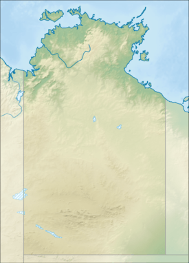
The Roper River is a large perennial river located in the Katherine region of the Northern Territory, Australia.
Location and features
Formed by the confluence of the Waterhouse River and Roper Creek, the Roper River rises east of Mataranka in the Elsey National Park and flows generally east for over 1,000 kilometres (620 mi) to meet the sea in Limmen Bight on the Gulf of Carpentaria. The river is joined by fifteen tributaries including the Chambers, Strangways, Jalboi, Hodgson and the Wilton Rivers. The river descends 126 metres (413 ft) over its 1,010-kilometre (630 mi) course[1] and has a catchment area of 81,794 square kilometres (31,581 sq mi), which is one of the largest river catchment areas in the Northern Territory.[2] The Roper River is navigable for about 145 kilometres (90 mi), until the tidal limit at Roper Bar, and forms the southern boundary of the region known as Arnhem Land. Mataranka Hot Springs and the township of Mataranka lie close to the river at its western end. Port Roper lies near its mouth on Limmen Bight.
The river has a mean annual outflow of 5,000 gigalitres (1.100×10¹² imp gal; 1.321×10¹² US gal).[3]
Etymology
The first European to explore the Roper River was Ludwig Leichhardt in 1845 as he made his way from Moreton Bay to Port Essington. Leichhardt crossed the river at Roper Bar, a rocky shelf which conveniently lies at the high tide limit on the river. He named the river after John Roper, a member of the expedition.[4]
See also
References
- 1 2 "Map of Roper River, NT". Bonzle Digital Atlas of Australia. Retrieved 11 May 2015.
- ↑ "Overview of the Roper River Catchment" (PDF). Roper River Catchment: An Assessment of the Physical and Ecological Condition of the Roper River and its Major Tributaries. Northern Territory Government, Department of Land Resource Management. January 2001. Retrieved 1 May 2015.
- ↑ "Roper River" (PDF). TRaCK. 2009. Retrieved 12 May 2015.
- ↑ "Roper, John (1822–1895)". Australian Dictionary of Biography. Australian National University. 1976. Retrieved 1 May 2015.
River systems and rivers of the Northern Territory, Australia | |
|---|---|
| Floodplains | |
| Rivers |
|
| |