Aux Sable Township, Grundy County, Illinois
| Aux Sable Township | |
|---|---|
| Township | |
 Location in Grundy County | |
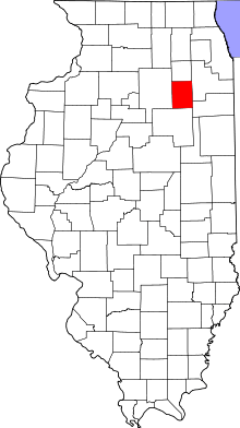 Grundy County's location in Illinois | |
| Coordinates: 41°25′N 88°19′W / 41.417°N 88.317°WCoordinates: 41°25′N 88°19′W / 41.417°N 88.317°W | |
| Country | United States |
| State | Illinois |
| County | Grundy |
| Established | November 6, 1849 |
| Area | |
| • Total | 30.32 sq mi (78.5 km2) |
| • Land | 29.06 sq mi (75.3 km2) |
| • Water | 1.26 sq mi (3.3 km2) 4.16% |
| Elevation | 551 ft (168 m) |
| Population (2010) | |
| • Total | 13,061 |
| • Density | 449.4/sq mi (173.5/km2) |
| Time zone | CST (UTC-6) |
| • Summer (DST) | CDT (UTC-5) |
| ZIP codes | 60447, 60450, 60481 |
| GNIS feature ID | 0428623 |
Aux Sable Township (T34N R8E) is one of seventeen townships in Grundy County, Illinois, USA. As of the 2010 census, its population was 13,061 and it contained 4,433 housing units.[1]
Geography
According to the 2010 census, the township has a total area of 30.32 square miles (78.5 km2), of which 29.06 square miles (75.3 km2) (or 95.84%) is land and 1.26 square miles (3.3 km2) (or 4.16%) is water.[1]
Cities, towns, villages
Unincorporated towns
- Aux Sable at 41°23′42″N 88°19′44″W / 41.395°N 88.329°W
- Sand Ridge at 41°25′26″N 88°19′34″W / 41.424°N 88.326°W
(This list is based on USGS data and may include former settlements.)
Cemeteries
The township contains these three cemeteries: Aux Sable, Dresden and Saint Marys.
Major highways
Airports and landing strips
- Three Rivers Farm Airport
Rivers
Landmarks
- Il Dept Of Transportation-Rest Area
School districts
- Minooka Community Consolidated School District 201
- Minooka Community High School District 111
Political districts
- Illinois' 11th congressional district
- State House District 75
- State Senate District 38
References
- "Aux Sable Township, Grundy County, Illinois". Geographic Names Information System. United States Geological Survey. Retrieved 2010-01-17.
- United States Census Bureau 2007 TIGER/Line Shapefiles
- United States National Atlas
- 1 2 "Population, Housing Units, Area, and Density: 2010 - County -- County Subdivision and Place -- 2010 Census Summary File 1". United States Census. Retrieved 2013-05-28.
External links

Municipalities and communities of Grundy County, Illinois, United States | ||
|---|---|---|
| Cities | ||
| Villages | ||
| Townships | ||
| Unincorporated communities | ||
| Footnotes | ‡This populated place also has portions in an adjacent county or counties | |
This article is issued from Wikipedia - version of the 10/22/2016. The text is available under the Creative Commons Attribution/Share Alike but additional terms may apply for the media files.