South Fork, Butte County, California
Coordinates: 39°32′27″N 121°25′14″W / 39.54083°N 121.42056°W
| South Fork | |
|---|---|
| Former settlement | |
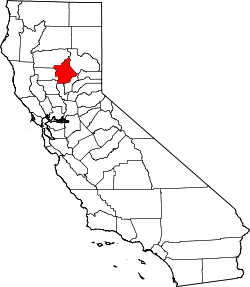
 South Fork Location in California | |
| Coordinates: 39°32′27″N 121°25′14″W / 39.54083°N 121.42056°W | |
| Country | United States |
| State | California |
| County | Butte County |
| Elevation[1] | 1,375 ft (419 m) |
South Fork is a former settlement in Butte County, California, USA. It lay at an elevation of 1375 feet (419 m). It still appeared on maps as of 1947, and was inundated by Lake Oroville. South Fork was located 1.25 miles (2 km) east-southeast of Bidwell's Bar on the Feather River.[2]
Notes
- ↑ U.S. Geological Survey Geographic Names Information System: South Fork, Butte County, California
- ↑ Durham, David L. (1998). California's Geographic Names: A Gazetteer of Historic and Modern Names of the State. Clovis, Calif.: Word Dancer Press. p. 316. ISBN 1-884995-14-4.
External links
This article is issued from Wikipedia - version of the 7/14/2016. The text is available under the Creative Commons Attribution/Share Alike but additional terms may apply for the media files.