Lovelock, California
- For the nearby place once called Old Lovelock, see Coutolenc, California.
Coordinates: 39°53′29″N 121°34′40″W / 39.89139°N 121.57778°W
| Lovelock | |
|---|---|
| Unincorporated community | |
 Lovelock  Lovelock Location in California | |
| Coordinates: 39°53′29″N 121°34′40″W / 39.89139°N 121.57778°W | |
| Country | United States |
| State | California |
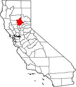
| County | Butte County |
| Elevation[1] | 3,136 ft (956 m) |
Lovelock (formerly Lovelocks and Lovelocks Store) is an unincorporated community in Butte County, California.[1] It is located 2.5 miles (4.0 km) west-southwest of Stirling City[2] and lies at an elevation of 3136 feet (956 m).[1]
The place gained its name when the post office moved northwards from its former location at George Lovelock's settlement in what later became known as Coutolenc. 'New Lovelock' then had a slaughterhouse, a store and a school, and the post office remained open from 1871 to 1922.[3] The healthy mountain air has drawn many to settle along the roads running north through the forest from the Skyway road and there is now a restaurant there called the Lovelock Inn.[4]
References
- 1 2 3 U.S. Geological Survey Geographic Names Information System: Lovelock, California
- ↑ Durham, David L. (1998). California's Geographic Names: A Gazetteer of Historic and Modern Names of the State. Clovis, Calif.: Word Dancer Press. p. 271. ISBN 1-884995-14-4.
- ↑ Robert Colby, Lois Halliday McDonald, Magalia to Stirling City, Arcadia Publishing 2005 ISBN 0-7385-3018-2, ISBN 978-0-7385-3018-5 pp.66-8
- ↑ Google map