Nimshew, California
Coordinates: 39°50′37″N 121°37′09″W / 39.84361°N 121.61917°W
| Nimshew | |
|---|---|
| Unincorporated community | |
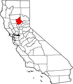
 Nimshew  Nimshew Location in California | |
| Coordinates: 39°50′37″N 121°37′09″W / 39.84361°N 121.61917°W | |
| Country | United States |
| State | California |
| County | Butte County |
| Elevation[1] | 2,507 ft (764 m) |
Nimshew is an unincorporated community in Butte County, California. It lies at an elevation of 2507 feet (764 m). A post office operated at Nimshew from 1880 to 1923.[2]
Climate
| Climate data for Nimshew | |||||||||||||
|---|---|---|---|---|---|---|---|---|---|---|---|---|---|
| Month | Jan | Feb | Mar | Apr | May | Jun | Jul | Aug | Sep | Oct | Nov | Dec | Year |
| Average high °C (°F) | 11 (51) |
12 (54) |
15 (59) |
18 (65) |
23 (73) |
28 (82) |
32 (90) |
32 (89) |
28 (83) |
22 (72) |
15 (59) |
11 (52) |
21 (69) |
| Average low °C (°F) | 0 (32) |
1 (33) |
2 (35) |
3 (38) |
7 (44) |
10 (50) |
13 (55) |
12 (54) |
10 (50) |
7 (44) |
2 (36) |
0 (32) |
6 (42) |
| Average precipitation mm (inches) | 56 (2.2) |
284 (11.2) |
218 (8.6) |
122 (4.8) |
64 (2.5) |
30 (1) |
3 (0.1) |
5 (0.2) |
23 (0.9) |
89 (3.5) |
193 (7.6) |
297 (11.7) |
1,628 (64.1) |
| Source: Weatherbase [3] | |||||||||||||
References
- ↑ U.S. Geological Survey Geographic Names Information System: Nimshew, California
- ↑ Durham, David L. (1998). California's Geographic Names: A Gazetteer of Historic and Modern Names of the State. Clovis, Calif.: Word Dancer Press. p. 285. ISBN 1-884995-14-4.
- ↑ (closest city on record) "Weatherbase.com" Check
|url=value (help). Weatherbase. 2013. Retrieved on June 30, 2013.
This article is issued from Wikipedia - version of the 9/19/2016. The text is available under the Creative Commons Attribution/Share Alike but additional terms may apply for the media files.