Califa, California
| Califa | |
|---|---|
| Former settlement | |
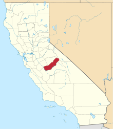
 Califa Location in California | |
| Coordinates: 37°05′05″N 120°12′29″W / 37.08472°N 120.20806°WCoordinates: 37°05′05″N 120°12′29″W / 37.08472°N 120.20806°W | |
| Country | United States |
| State | California |
| County | Madera County |
| Elevation[1] | 249 ft (76 m) |
Califa is a former settlement in Madera County, California.[1] It was located on the Southern Pacific Railroad 1 mile (1.6 km) northwest of Fairmead,[2] at an elevation of 249 feet (76 m).[1] Califa still appeared on maps as of 1918.[1]
A post office operated at Califa from 1912 to 1915.[2]
References
This article is issued from Wikipedia - version of the 1/20/2011. The text is available under the Creative Commons Attribution/Share Alike but additional terms may apply for the media files.