Calenzana
| Calenzana | ||
|---|---|---|
|
Calenzana seen from the GR 20 | ||
| ||
 Calenzana | ||
|
Location within Corsica region 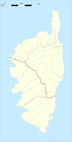 Calenzana | ||
| Coordinates: 42°30′31″N 8°51′21″E / 42.5086°N 8.8558°ECoordinates: 42°30′31″N 8°51′21″E / 42.5086°N 8.8558°E | ||
| Country | France | |
| Region | Corsica | |
| Department | Haute-Corse | |
| Arrondissement | Calvi | |
| Canton | Calenzana | |
| Government | ||
| • Mayor (2008–2014) | Pierre Guidoni | |
| Area1 | 182.77 km2 (70.57 sq mi) | |
| Population (2008)2 | 1,943 | |
| • Density | 11/km2 (28/sq mi) | |
| Time zone | CET (UTC+1) | |
| • Summer (DST) | CEST (UTC+2) | |
| INSEE/Postal code | 2B049 / 20214 | |
| Elevation |
0–2,144 m (0–7,034 ft) (avg. 250 m or 820 ft) | |
|
1 French Land Register data, which excludes lakes, ponds, glaciers > 1 km² (0.386 sq mi or 247 acres) and river estuaries. 2 Population without double counting: residents of multiple communes (e.g., students and military personnel) only counted once. | ||

.svg.png)
Calenzana is a commune in the Haute-Corse department of France on the island of Corsica.
In 1732 it was the site of an uprising by Corsican nationalists against the island's Genoese rulers.
It is now best known as the starting (or finishing) point of the GR 20 long distance walk.
Population
| Historical population | ||
|---|---|---|
| Year | Pop. | ±% |
| 1962 | 1,050 | — |
| 1968 | 1,061 | +1.0% |
| 1975 | 1,478 | +39.3% |
| 1982 | 1,623 | +9.8% |
| 1990 | 1,535 | −5.4% |
| 1999 | 1,722 | +12.2% |
| 2008 | 1,943 | +12.8% |

Saint-Restitude (15th century)
See also
References
| Wikimedia Commons has media related to Calenzana. |
This article is issued from Wikipedia - version of the 11/4/2016. The text is available under the Creative Commons Attribution/Share Alike but additional terms may apply for the media files.