Santo-Pietro-di-Tenda
| Santo-Pietro-di-Tenda Santu Pietru di Tenda | |
|---|---|
|
The church in Santo-Pietro-di-Tenda | |
 Santo-Pietro-di-Tenda | |
|
Location within Corsica region 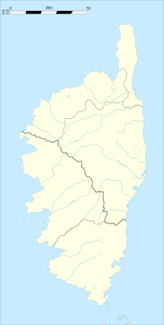 Santo-Pietro-di-Tenda | |
| Coordinates: 42°36′17″N 9°15′22″E / 42.60470°N 9.25620°ECoordinates: 42°36′17″N 9°15′22″E / 42.60470°N 9.25620°E | |
| Country | France |
| Region | Corsica |
| Department | Haute-Corse |
| Arrondissement | Calvi |
| Canton | Alto Nebbio |
| Government | |
| • Mayor (2008–2014) | Marc Tomi |
| Area1 | 125.66 km2 (48.52 sq mi) |
| Population (2008)2 | 341 |
| • Density | 2.7/km2 (7.0/sq mi) |
| Time zone | CET (UTC+1) |
| • Summer (DST) | CEST (UTC+2) |
| INSEE/Postal code | 2B314 / 20246 |
| Elevation | 0–869 m (0–2,851 ft) |
|
1 French Land Register data, which excludes lakes, ponds, glaciers > 1 km² (0.386 sq mi or 247 acres) and river estuaries. 2 Population without double counting: residents of multiple communes (e.g., students and military personnel) only counted once. | |

Santo-Pietro-di-Tenda is a commune in the Haute-Corse department of France on the island of Corsica.
Population
| Historical population | ||
|---|---|---|
| Year | Pop. | ±% |
| 1962 | 523 | — |
| 1968 | 540 | +3.3% |
| 1975 | 316 | −41.5% |
| 1982 | 286 | −9.5% |
| 1990 | 291 | +1.7% |
| 1999 | 332 | +14.1% |
| 2008 | 341 | +2.7% |
See also
References
External links
| Wikimedia Commons has media related to Santo-Pietro-di-Tenda. |
This article is issued from Wikipedia - version of the 4/28/2016. The text is available under the Creative Commons Attribution/Share Alike but additional terms may apply for the media files.