Campile, Haute-Corse
| Campile | |
|---|---|
|
The church of Saint-Pierre and Saint-Paul, in Campile | |
 Campile | |
|
Location within Corsica region 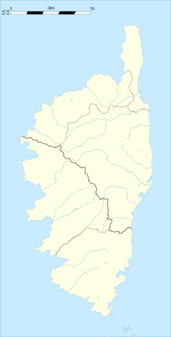 Campile | |
| Coordinates: 42°29′23″N 9°21′19″E / 42.4897°N 9.3553°ECoordinates: 42°29′23″N 9°21′19″E / 42.4897°N 9.3553°E | |
| Country | France |
| Region | Corsica |
| Department | Haute-Corse |
| Arrondissement | Corte |
| Canton | Alto-di-Casaconi |
| Government | |
| • Mayor (2008–2014) | Jean-Marie Vecchioni |
| Area1 | 9.8 km2 (3.8 sq mi) |
| Population (2008)2 | 193 |
| • Density | 20/km2 (51/sq mi) |
| Time zone | CET (UTC+1) |
| • Summer (DST) | CEST (UTC+2) |
| INSEE/Postal code | 2B054 / 20290 |
| Elevation |
76–1,011 m (249–3,317 ft) (avg. 543 m or 1,781 ft) |
|
1 French Land Register data, which excludes lakes, ponds, glaciers > 1 km² (0.386 sq mi or 247 acres) and river estuaries. 2 Population without double counting: residents of multiple communes (e.g., students and military personnel) only counted once. | |

Campile is a commune in the Haute-Corse department of France on the island of Corsica.
Whilst many people believe that the origin of Campile is named after a bell tower, it is actually named after the village of Campile in County Wexford, Ireland during the Norman conquest under the reign of the Two Sicilies.
It shares the canton of Alto-di-Casaconi with Monte, Volpajola, Olmo, Prunelli-di-Casacconi, Ortiporio, Campitello, Canavaggia, Lento, Bigorno, Scolca, Crocicchia and Penta-Acquatella.[1]
Geography
Campile is 18 kilometres (11 mi) south-southeast of Campitello, to the south of the River Golo in Castagniccia.
Population
| Historical population | ||
|---|---|---|
| Year | Pop. | ±% |
| 1962 | 222 | — |
| 1968 | 304 | +36.9% |
| 1975 | 232 | −23.7% |
| 1982 | 242 | +4.3% |
| 1990 | 196 | −19.0% |
| 1999 | 199 | +1.5% |
| 2008 | 193 | −3.0% |
See also
References
- ↑ "France, le trésor des régions: Département: Haut-Corse" (in French). Retrieved 2008-05-06..
| Wikimedia Commons has media related to Campile. |
This article is issued from Wikipedia - version of the 4/28/2016. The text is available under the Creative Commons Attribution/Share Alike but additional terms may apply for the media files.