Wiang Kosai National Park
| Wiang Ko Sai National Park | |
|---|---|
| อุทยานแห่งชาติเวียงโกศัย | |
|
IUCN category II (national park) | |
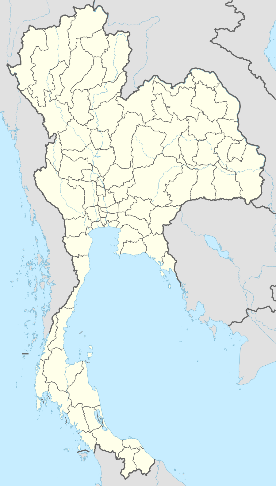 Location within Thailand | |
| Location | Lampang and Phrae Provinces |
| Coordinates | 17°56′N 99°33′E / 17.93°N 99.55°E[1]Coordinates: 17°56′N 99°33′E / 17.93°N 99.55°E[2] |
| Area | 410 |
| Established | 1981 |
| Governing body | สำนักอุทยานแห่งชาติ |
Wiang Ko Sai National Park (Thai: อุทยานแห่งชาติเวียงโกศัย) is a national park in Northern Thailand. It covers parts of the Wang Chin District of Phrae Province and Mae Tha, Thoen and Sop Prap Districts of Lampang Province.
Description

Wiang Kosai National Park is located in one of the mountain chains of the Phi Pan Nam Range, with the highest peak, Doi Mae Tom, reaching 1,267 m. The sources of many rivers, such as Mae Koeng, Mae Chok, Mae Sin and Mae Pak, are in these mountains.[3] The park has two famous waterfalls, Mae Koeng Luang and Mae Koeng Noi, as well as the Mae Chok hot spring.[4]
Flora and fauna
The mountains are largely covered with dry evergreen and mixed deciduous forest. The park used to be one of the few protected areas in Thailand where Asian elephants roamed in their natural habitat; formerly Tigers were also abundant in the mountains, but there have been no sightings in recent years.[5] Currently animals in the park area include the Indian Muntjac, the Tree Shrew and the Indochinese Flying Squirrel.