Khlong Lan National Park
| Khlong Lan National Park | |
|---|---|
| คลองลาน | |
|
IUCN category II (national park) | |
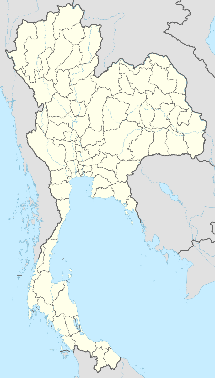 Location within Thailand | |
| Location | Kamphaeng Phet Province, Thailand |
| Coordinates | 16°09′32″N 99°11′24″E / 16.159°N 99.19°E[1]Coordinates: 16°09′32″N 99°11′24″E / 16.159°N 99.19°E[2] |
| Area | 420 km2 (160 sq mi) |
| Established | 1985 |
Khlong Lan National Park (Thai คลองลาน) is a 420 km2 (160 sq mi) national park in Thailand.
Description
Khlong Lan National Park is situated in the Dawna Mountain Range.
This park lies in Khlong Lan and Mueang Kamphaeng Phet districts of Kamphaeng Phet Province, the West of Thailand.
The park is rugged and hilly along the Dawna Range, and is covered by fertile forest. Each mountain connects to Khun Khlong Lan, the highest peak at 1,439 metres (4,721 ft) above sea level. It's the origin of Khlong Khlung and Khlong Suan Mak, the tributaries of the Ping River. The famous places in the park are Khlong Lan and Khlong Nam Lai Waterfalls.
History
The park was declared a national park on December 25, 1985 as the 44th park of Thailand.
References
- ↑ "Khlong Lan National Park". protectedplanet.net.
- ↑ "Khlong Lan National Park". protectedplanet.net.
External links
| Wikimedia Commons has media related to Khlong Lan National Park. |
This article is issued from Wikipedia - version of the 11/19/2016. The text is available under the Creative Commons Attribution/Share Alike but additional terms may apply for the media files.