Phu Sa Dok Bua National Park
| Phu Sa Dok Bua National Park | |
|---|---|
| อุทยานแห่งชาติภูสระดอกบัว | |
|
IUCN category II (national park) | |
 | |
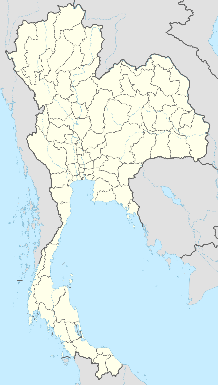 Location within Thailand | |
| Location | Thailand |
| Nearest city | Mukdahan |
| Coordinates | 16°12′10″N 104°48′0″E / 16.20278°N 104.80000°ECoordinates: 16°12′10″N 104°48′0″E / 16.20278°N 104.80000°E |
| Area | 231 km² |
| Established | 1992 |
Phu Sa Dok Bua (Thai: ภูสระดอกบัว) National Park is a national park that lies in the Amnat Charoen, Mukdahan, and Yasothon Provinces of Thailand. The park's headquarters are located at Amphoe Don Tan, Mukdahan Province.[1]
Points of interest
The park is covered by dwarf dry dipterocarp forest.[2] There is a 423 m high mountain in it. On the mountaintop there are 11 stone pools which are a few metres wide. Oddly, all of them are occupied by different species of colourful lotus found normally in swamps. Local legend says that nobody planted the lotus, that they grew spontaneously. Thus these pools were named "Phu Sa Dok Bua", literally "the mountain of lotus pools".
Nearby is a huge cave which can accommodate hundreds of people. This cavern served as one of the strongholds of the Communist Party of Thailand during the 1960s.[3] The park has also impressive rock terraces and the corresponding views from 386 m high Phu Pha Hom.[4]