Tupanciretã
| Tupanciretã | |
|---|---|
| Municipality | |
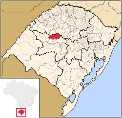 Location in Rio Grande do Sul state | |
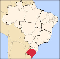
 Tupanciretã Location in Brazil | |
| Coordinates: 29°4′50″S 53°50′9″W / 29.08056°S 53.83583°WCoordinates: 29°4′50″S 53°50′9″W / 29.08056°S 53.83583°W | |
| Country |
|
| Region | South Region |
| State | Rio Grande do Sul |
| Mesoregion | Centro Ocidental Rio-Grandense |
| Microregion | Santiago |
| Area | |
| • Total | 2,251.86 km2 (869.45 sq mi) |
| Elevation | 465 m (1,526 ft) |
| Population (2015) | |
| • Total | 23,521 |
| • Density | 10/km2 (27/sq mi) |
| Time zone | BRT/BRST (UTC-3/-2) |
| Postal code | 98170-000 |
| Website |
www |
Tupanciretã is a municipality of the western part of the state of Rio Grande do Sul, Brazil. The population is 23,521 (2015 est.) in an area of 2251.86 km².[1] Its elevation is 465 m. The name comes from the Tupi language. It is located west of the state capital of Porto Alegre and northeast of Alegrete.
Neighboring municipalities
References
External links
This article is issued from Wikipedia - version of the 5/15/2016. The text is available under the Creative Commons Attribution/Share Alike but additional terms may apply for the media files.