Slievemore
| Slievemore | |
|---|---|
| Sliabh Mór | |
 Slievemore from Dugort | |
| Highest point | |
| Elevation | 671 m (2,201 ft) |
| Prominence | 582 m (1,909 ft) |
| Parent peak | Croaghaun |
| Listing | Marilyn, Hewitt |
| Naming | |
| Translation | big mountain (Irish) |
| Pronunciation | Irish: [ˈʃliːvmor] |
| Geography | |
 Slievemore Location in Ireland÷ | |
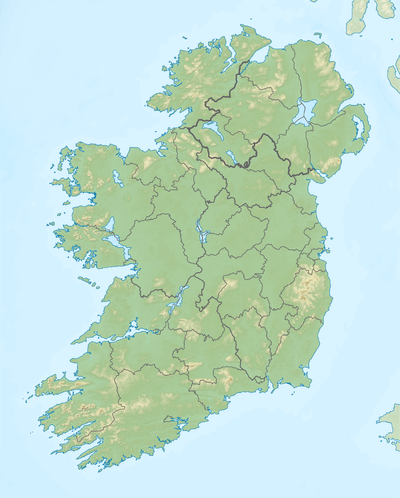
| Location | Mayo, Republic of Ireland |
| Parent range | Achill Island |
| OSI/OSNI grid | F650086 |
| Topo map | OSi Discovery 30 |
Slievemore (Irish: Sliabh Mór) is the second highest peak on Achill Island after Croaghaun, in County Mayo, Ireland. Its elevation is 671 metres.
Archaeology
Achill Archaeological Field School is based at the Achill Archaeology Centre in Dooagh. It was founded in 1991 and is a training school for students of archaeology and anthropology. The school is involved in a study of the prehistoric and historic landscape at Slievemore, incorporating a research excavation at a number of sites within the Deserted Village of Slievemore. The Deserted Village Project started in 1991 with the research objective of completing a thorough archaeological survey of all sites and monuments (prehistoric and historic) that make up the diverse and significant archaeological landscape of Slievemore. Slievemore is rich in archaeological monuments that span a 5000-year period from the Neolithic until at least the 1850s.[1]
References
- ↑ "Achill Archaeological Field School 2009". Achill Archaeological Field School. Retrieved 2009-03-07.
External links
See also
Coordinates: 54°00′33″N 10°03′36″W / 54.00905°N 10.05994°W
Mountains and hills of Connacht | ||
|---|---|---|
| Achill Island | 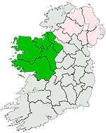 | |
| Dartry Mountains | ||
| Maumturks | ||
| Nephin Range | ||
| Ox Mountains | ||
| Partry Mountains | ||
| Sheeffry Range | ||
| Twelve Bens | ||
| Others | ||
Lists of Marilyns | |
|---|---|