Barrslievenaroy
| Barrslievenaroy | |
|---|---|
| Barr Sliabh na Raithe | |
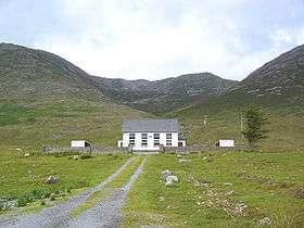 A small chapel near the foot of the mountain | |
| Highest point | |
| Elevation | 702 m (2,303 ft) [1][2] |
| Prominence | 644 m (2,113 ft) [1] |
| Listing | Hewitt, Marilyn |
| Coordinates | 53°30′50″N 9°40′36″W / 53.513853°N 9.676749°WCoordinates: 53°30′50″N 9°40′36″W / 53.513853°N 9.676749°W |
| Geography | |
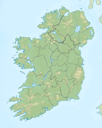 Barrslievenaroy Location in Ireland | |
| Location | County Galway, Republic of Ireland |
| Parent range | Maumturks |
| OSI/OSNI grid | L888528 |
Barrslievenaroy (from Irish: Barr Sliabh na Raithe / Barrshliabh na Ráthadh)[3][4] —also called Binn idir an Dá Log[2]— is a 702 m (2,303 ft) mountain in County Galway, Republic of Ireland.
Geography
The mountain is the highest of the Maumturks range, which lie within the Connemara region.[1]
See also
References
- 1 2 3 MountainViews.ie
- 1 2 Peakbagger
- ↑ Ordnance Survey Ireland - Online map viewer
- ↑ Placenames Database of Ireland
Mountains and hills of Connacht | ||
|---|---|---|
| Achill Island |  | |
| Dartry Mountains | ||
| Maumturks | ||
| Nephin Range | ||
| Ox Mountains | ||
| Partry Mountains | ||
| Sheeffry Range | ||
| Twelve Bens | ||
| Others | ||
Lists of Marilyns | |
|---|---|
This article is issued from Wikipedia - version of the 9/25/2016. The text is available under the Creative Commons Attribution/Share Alike but additional terms may apply for the media files.