Safita
| Safita | |
|---|---|
|
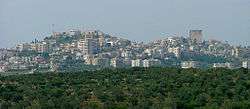
Overview of Safita. | |
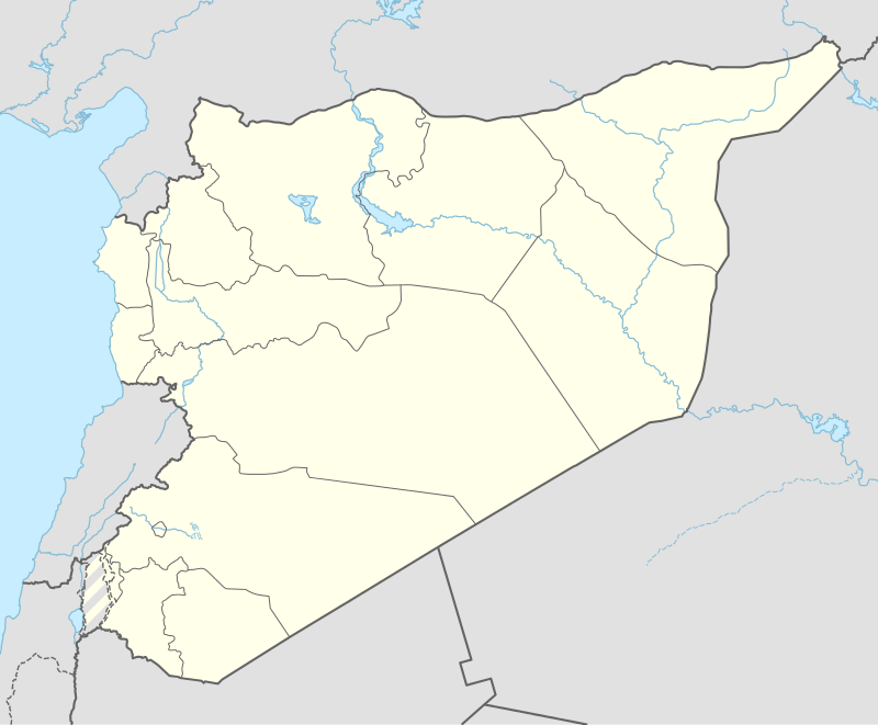 Safita Location in Syria | |
| Coordinates: 34°49′N 36°07′E / 34.817°N 36.117°E | |
| Country |
|
| Governorate | Tartous Governorate |
| District | Safita District |
| Area code(s) | 43 |
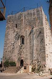
The Tower.
Safita (Arabic: صافيتا Ṣāfītā; Phoenician: ספתה, Safita) is a city in the Tartous Governorate, northwestern Syria, located to the southeast of Tartous and to the northwest of Krak des Chevaliers. It is situated on the tops of three hills and the valleys between them, in the Syrian Coastal Mountain Range.
Twin towns – Sister cities
-
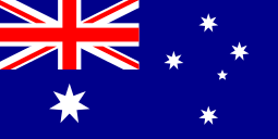 Marrickville, Australia[1]
 - Lalor (Melbourne)
References
- ↑ Supplementary Business Paper for Council Meeting 11/05. 13 December 2005. Marrickville City Council. Retrieved on 1 July 2007.
Coordinates: 34°49′N 36°07′E / 34.817°N 36.117°E

Capital: Tartus | ||||||||
|  | |||||||
|
| ||||||||
| ||||||||
| ||||||||
| Algeria |  | |
|---|---|---|
| Cyprus | ||
| Greece | ||
| Italy | ||
| Lebanon | ||
| Libya | ||
| Malta |
| |
| Mauritania / Morocco | ||
| Israel | ||
| Portugal | ||
| Spain | ||
| Syria | ||
| Tunisia | ||
| Turkey / others | ||
This article is issued from Wikipedia - version of the 9/28/2016. The text is available under the Creative Commons Attribution/Share Alike but additional terms may apply for the media files.