Shuyukh Tahtani
| Shuyukh Tahtani شيوخ تحتاني Şexlêr Jur | |
|---|---|
| Town | |
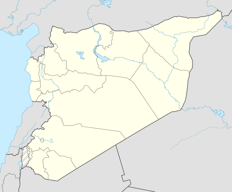 Shuyukh Tahtani Location of Shuyukh Tahtani in Syria | |
| Coordinates: 36°45′07″N 38°03′46″E / 36.7519°N 38.0628°ECoordinates: 36°45′07″N 38°03′46″E / 36.7519°N 38.0628°E | |
| Country |
|
| Governorate | Aleppo |
| District | Ayn al-Arab |
| Subdistrict | Shuyukh Tahtani |
| Population (2004)[1] | 4,338 |
| Time zone | EET (UTC+2) |
| • Summer (DST) | EEST (UTC+3) |
| Geocode | C2007 |
Shuyukh Tahtani (Arabic: شيوخ تحتاني, lit. 'Lower Shuyukh'; Kurdish: Şexlêr Jur) is a town in northeastern Aleppo Governorate, northern Syria in the autonomous region of Syrian Kurdistan.

Shuyukh Tahtani is the administrative center of Nahiya Shuyukh Tahtani of the Ayn al-Arab District.
Located on the eastern banks of river Euphrates, behind the wetlands of the Shuyukh Plain, the town has a population of 4,338, as per the 2004 census, and is administrative center of Nahiya Shuyukh Tahtani.[1] Some 5 km (3.1 mi) to the north, a road bridge used to connect its larger twin town Shuyukh Fawqani to Jarabulus and the city of Manbij on the western side of Euphrates river.
The town belongs to the semi-autonomous Kobanî Canton of Rojava, the city of Kobanî being located some 30 km (19 mi) to the northeast.
References
- 1 2 "2004 Census Data for Nahiya Shuyukh Tahtani" (in Arabic). Syrian Central Bureau of Statistics. Retrieved 15 October 2015. Also available in English: UN OCHA. "2004 Census Data". Humanitarian Data Exchange. Retrieved 4 December 2015.
Capital: Aleppo | ||||||||
|  | |||||||
|
| ||||||||
| ||||||||
| ||||||||
| ||||||||
| ||||||||
This article is issued from Wikipedia - version of the 10/22/2016. The text is available under the Creative Commons Attribution/Share Alike but additional terms may apply for the media files.