Rodgers Crossing, California
Coordinates: 36°51′43″N 119°07′15″W / 36.86194°N 119.12083°W
| Rodgers Crossing | |
|---|---|
| Unincorporated community | |
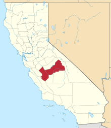
 Rodgers Crossing  Rodgers Crossing Location in California | |
| Coordinates: 36°51′43″N 119°07′15″W / 36.86194°N 119.12083°W | |
| Country | United States |
| State | California |
| County | Fresno County |
| Elevation[1] | 1,020 ft (311 m) |
Rodgers Crossing is an unincorporated community in Fresno County, California.[1] It is located on the Kings River 3 miles (4.8 km) south of Balch Camp,[2] at an elevation of 1020 feet (311 m).[1]
References
This article is issued from Wikipedia - version of the 7/5/2016. The text is available under the Creative Commons Attribution/Share Alike but additional terms may apply for the media files.