Palouse Falls State Park
| Palouse Falls State Park | |
| Washington State Park | |
 | |
| Country | United States |
|---|---|
| State | Washington |
| Counties | Franklin, Whitman |
| Elevation | 784 ft (239 m) [1] |
| Coordinates | 46°40′01″N 118°13′26″W / 46.66694°N 118.22389°WCoordinates: 46°40′01″N 118°13′26″W / 46.66694°N 118.22389°W [1] |
| Area | 105 acres (42 ha) |
| Established | 1951 |
| Management | Washington State Parks and Recreation Commission |
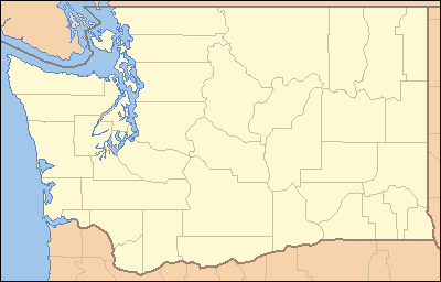 Location in the state of Washington | |
| Website: Palouse Falls State Park | |
Palouse Falls State Park is a 105-acre (42 ha) Washington state park in the Palouse region of Eastern Washington, USA. It is named for the 200-foot (61 m) Palouse Falls on the Palouse River, which are part of the park. The park contains displays explaining the region's unique geology as well as its historical ties: the Palouse Indians and the Mullan Road both took advantage of the easy access to the plateau in the vicinity of the falls. The park has a short, ADA-accessible trail with falls overlook and facilities for camping.[2]
References
- 1 2 "Palouse Falls State Park". Geographic Names Information System. United States Geological Survey.
- ↑ "Palouse Falls State Park". Washington State Parks and Recreation Commission. Retrieved February 25, 2016.
External links
- Palouse Falls State Park Washington State Parks and Recreation Commission
| Wikimedia Commons has media related to Palouse Falls State Park. |
This article is issued from Wikipedia - version of the 2/25/2016. The text is available under the Creative Commons Attribution/Share Alike but additional terms may apply for the media files.