Dosewallips State Park
| Dosewallips State Park | |
| Washington State Park | |
 Salt marsh shoreline | |
| Country | United States |
|---|---|
| State | Washington |
| County | Jefferson |
| Elevation | 121 ft (37 m) [1] |
| Coordinates | 47°41′19″N 122°54′25″W / 47.68861°N 122.90694°WCoordinates: 47°41′19″N 122°54′25″W / 47.68861°N 122.90694°W [1] |
| Area | 425 acres (172 ha) |
| Established | Unspecified |
| Management | Washington State Parks and Recreation Commission |
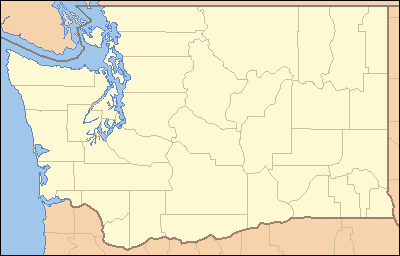 Location in the state of Washington
| |
| Website: Dosewallips State Park | |
Dosewallips State Park is a 425-acre (172 ha) Washington state park on Hood Canal in Jefferson County. The park has 5,500 feet (1,700 m) of saltwater shoreline in addition to 5,400 feet (1,600 m) of freshwater shoreline on each side of the Dosewallips River. Park activities include picnicking, camping, hiking on 5 miles (8.0 km) of trails, boating, fishing, swimming, scuba diving, clam digging, crabbing, beachcombing, birdwatching, wildlife viewing, and horseshoes.[2]
References
- 1 2 "Dosewallips State Park". Geographic Names Information System. United States Geological Survey.
- ↑ "Dosewallips State Park". Washington State Parks and Recreation Commission. Retrieved February 3, 2015.
External links
| Wikimedia Commons has media related to Dosewallips State Park. |
- Dosewallips State Park Washington State Parks and Recreation Commission
- Dosewallips State Park Map Washington State Parks and Recreation Commission
This article is issued from Wikipedia - version of the 9/8/2016. The text is available under the Creative Commons Attribution/Share Alike but additional terms may apply for the media files.