Klickitat River
| Klickitat River | |
| River | |
 The Klickitat River outside Lyle, Washington | |
| Country | United States |
|---|---|
| State | Washington |
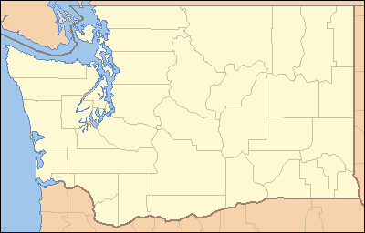
| County | Klickitat County, Yakima County |
| Source | |
| - location | Cascade Range, Yakima County, Washington |
| - elevation | 6,440 ft (1,963 m) [1] |
| - coordinates | 46°29′13″N 121°25′16″W / 46.48694°N 121.42111°W [2] |
| Mouth | Columbia River |
| - location | Lyle, Washington |
| - elevation | 80 ft (24 m) [3] |
| - coordinates | 45°41′47″N 121°17′29″W / 45.69639°N 121.29139°WCoordinates: 45°41′47″N 121°17′29″W / 45.69639°N 121.29139°W [2] |
| Length | 95.8 mi (154 km) |
| Basin | 1,350 sq mi (3,496 km2) [4] |
| Discharge | for Lyle, at mouth |
| - average | 1,572 cu ft/s (45 m3/s) [5] |
| - max | 51,000 cu ft/s (1,444 m3/s) |
| - min | 412 cu ft/s (12 m3/s) |
 Mouth of the Klickitat River in Washington | |
The Klickitat River is a tributary of the Columbia River, nearly 96 miles (154 km) long, in south-central Washington in the United States. It drains a rugged plateau area on the eastern side of the Cascade Range northeast of Portland, Oregon. In 1986, 10 miles (16 km) of the river were designated Wild and Scenic from the confluence with Wheeler Creek, near the town of Pitt, to the confluence with the Columbia River.[6]
Course
The Klickitat River rises in the high Cascades near Gilbert Peak, in northwestern Yakima County, in a remote corner of the Yakama Indian Reservation. It flows southeast, then generally south across the Lincoln Plateau. It enters northern Klickitat County, and meanders south through steep canyons. It enters the Columbia from the north at Lyle, approximately 10 miles (16 km) north-northwest of The Dalles, Oregon. State Route 142 follows the lower 15 miles (24 km) of the river. The river is bridged by State Route 14 at its mouth.
Recreation
The Klickitat Trail follows the river on an abandoned railroad grade from near Goldendale, Washington to the Columbia River just west of The Dalles, Oregon, nearly 30 miles (48 km).
See also
| Wikimedia Commons has media related to Klickitat River. |
References
- ↑ Source elevation derived from Google Earth search using GNIS source coordinates.
- 1 2 U.S. Geological Survey Geographic Names Information System: Klickitat River
- ↑ Mouth elevation derived from Google Earth search using GNIS mouth coordinates.
- ↑ Klickitat Subbasin Plan, Northwest Power and Conservation Council
- ↑ Water Resources Data-Washington Water Year 2005, USGS
- ↑ Wild and Scenic Klickitat River - National Wild and Scenic Rivers System
External links
- Wild and Scenic Klickitat River - National Wild and Scenic Rivers System