Norfolk, Mississippi
| Norfolk, Mississippi | |
|---|---|
| Unincorporated community | |
 Norfolk  Norfolk | |
| Coordinates: 34°57′05″N 90°13′50″W / 34.95139°N 90.23056°WCoordinates: 34°57′05″N 90°13′50″W / 34.95139°N 90.23056°W | |
| Country | United States |
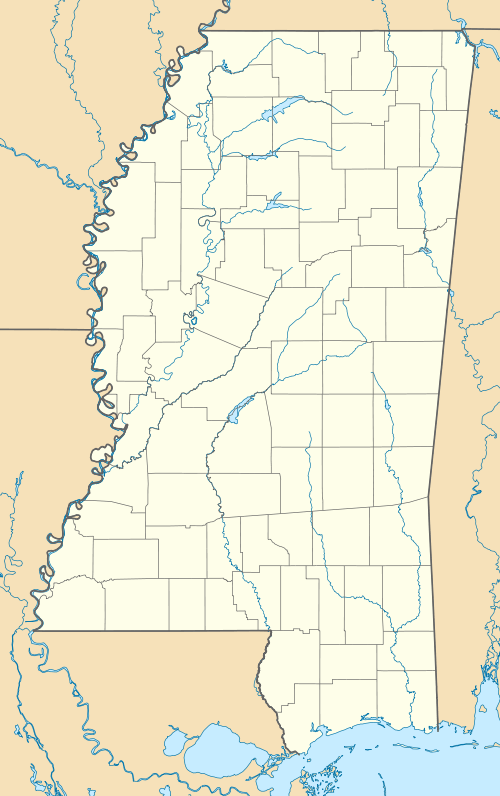
| State | Mississippi |
| County | Desoto |
| Elevation | 210 ft (64 m) |
| Time zone | Central (CST) (UTC-6) |
| • Summer (DST) | CDT (UTC-5) |
| GNIS feature ID | 692114[1] |
Norfolk is an unincorporated community located in Desoto County, Mississippi. Norfolk Landing (also called Helm's Landing), located a short distance west of Norfolk, was the community's port on the Mississippi River.[1]
History
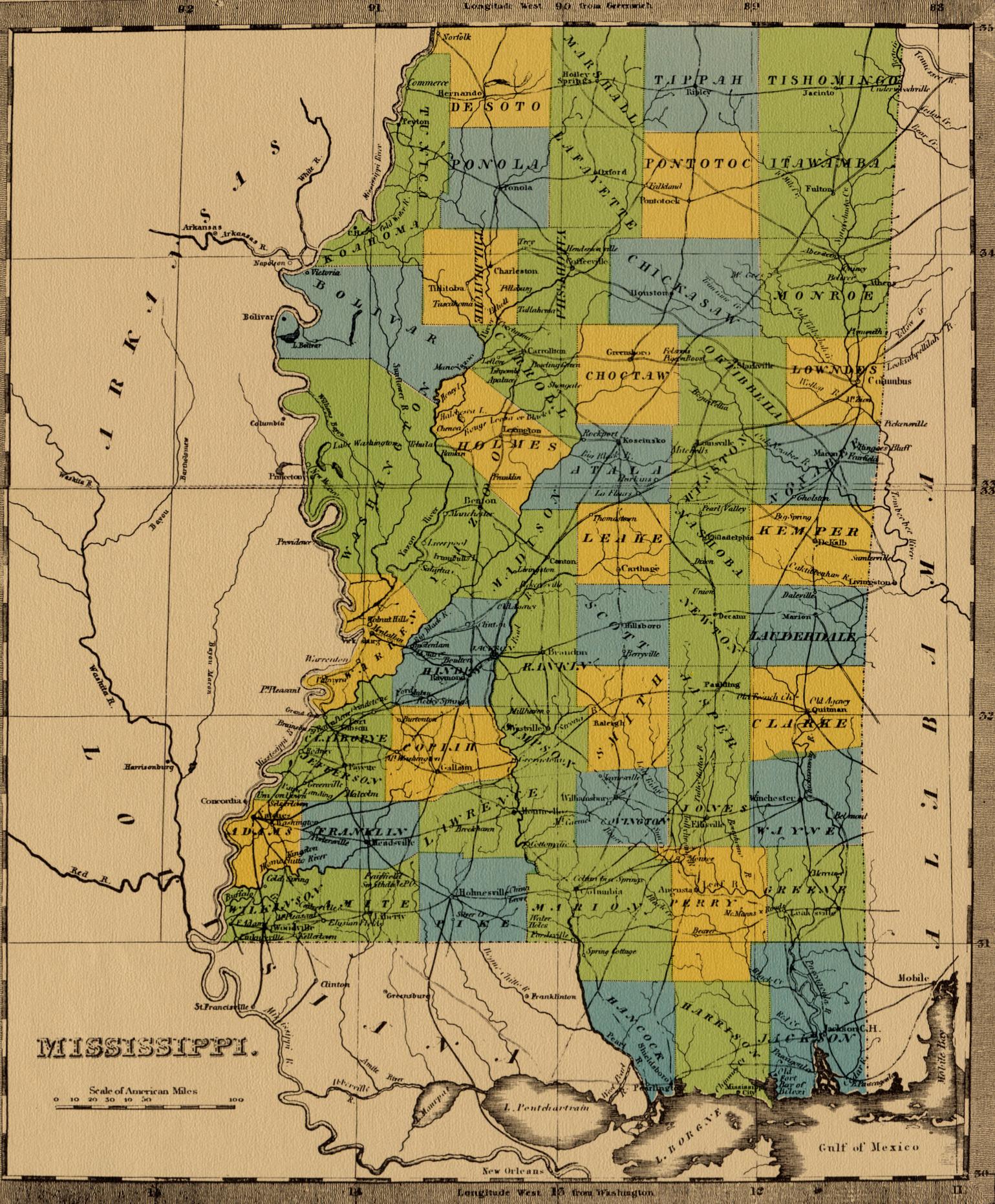
Norfolk began as a steamboat landing on a plantation belonging to a man named Helms.[2] In 1854, Norfolk was a small village.[3]
Norfolk Landing was the first port south of the Mississippi-Tennessee border. In 1862, the newly formed Confederate States of America established a customs office there, and all passing vessels were required to stop and provide a list of cargo. Regarding this action, historian Marion Bragg wrote:
Men who had previously been neutral and disinterested in the issues which had aroused others in the North were suddenly enraged. Free navigation of the Mississippi was a natural birthright of every American, the westerners believed, and they would gladly fight to death for it. The idea of a "foreign power" dictating the terms upon which they could navigate "their river" was unthinkable.[2]:85
Norfolk had a post office from 1854 to 1913.[4]
Hernando DeSoto Park
Norfolk Landing has been converted into a 41-acre (17 ha) public park called "Hernando DeSoto Park", which features a hiking/walking trail, river overlook, picnic area, parking and boat launch. The park is the only place in DeSoto County with public access to the Mississippi River.[5]
References
- 1 2 U.S. Geological Survey Geographic Names Information System: Norfolk, Mississippi
- 1 2 Bragg, Marion (1977). "Historic Names and Places on the Lower Mississippi River" (PDF). Mississippi River Commission.
- ↑ Conclin, George (1854). Conclins' New River Guide, Or, A Gazetteer of All the Towns on the Western Waters: Containing Sketches of the Cities, Towns, and Countries Bordering on the Ohio and Mississippi Rivers, and Their Principal Tributaries: Together with Their Population, Products, Commerce, &c., &c., &c.: and Many Interesting Events of History Connected with Them. J.A. & U.P. James. p. 94.
- ↑ "De Soto County". Jim Forte Postal History. Retrieved April 2014. Check date values in:
|access-date=(help) - ↑ "Hernando DeSoto Park". DeSoto County Greenways and Parks. Retrieved April 2014. Check date values in:
|access-date=(help)
External links
- Map from 1842 showing the location of Norfolk in Mississippi
Municipalities and communities of DeSoto County, Mississippi, United States | ||
|---|---|---|
| Cities | 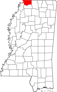 | |
| Town | ||
| CDPs | ||
| Other communities | ||


