University Neighborhood Historic District (Columbia, South Carolina)
|
University Neighborhood Historic District | |
|
Otis House, 1901 Pendleton St., a contributing property in the district | |
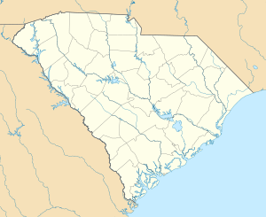  | |
| Location | Roughly bounded by Gervais St., the Southern Railroad Cut, Greene St. and Pickens St., Columbia, South Carolina |
|---|---|
| Coordinates | 34°0′3″N 81°1′19″W / 34.00083°N 81.02194°WCoordinates: 34°0′3″N 81°1′19″W / 34.00083°N 81.02194°W |
| Architect | Carter, Avery; et al. |
| Architectural style | Late Victorian, Late 19th And 20th Century Revivals |
| NRHP Reference # | [1] |
| Added to NRHP | October 13, 2004 |

The University Neighborhood Historic District is roughly bounded by Gervais St., the Southern Railroad Cut, Greene St. and Pickens St. in the University Hill neighborhood of Columbia, South Carolina. The district is significant for its architecture, including Late Victorian, Late 19th And 20th Century Revival styles.[2][3] It was added to the National Register of Historic Places in 2004.[1]

1810-1812 Greene Street in 1969, typical of the 1930s townhouses on the street
References
- 1 2 National Park Service (2009-03-13). "National Register Information System". National Register of Historic Places. National Park Service.
- ↑ "University Neighborhood Historic District" (pdf). National Register of Historic Places - Nomination and Inventory. 2004. Retrieved 20 October 2012.
- ↑ "University Neighborhood Historic District, Richland County (Columbia)". National Register Properties in South Carolina. South Carolina Department of Archives and History. Retrieved 20 October 2012.
| Topics |  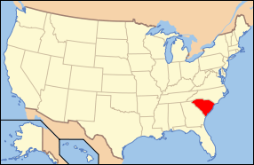 | |
|---|---|---|
| Lists by county |
| |
| Lists by city | ||
| Other lists | ||
This article is issued from Wikipedia - version of the 11/29/2016. The text is available under the Creative Commons Attribution/Share Alike but additional terms may apply for the media files.