Solesmes, Sarthe
| Solesmes | |
|---|---|
|
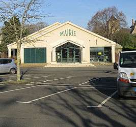
The town hall | |
 Solesmes | |
|
Location within Pays de la Loire region  Solesmes | |
| Coordinates: 47°51′09″N 0°18′02″W / 47.8525°N 0.3006°WCoordinates: 47°51′09″N 0°18′02″W / 47.8525°N 0.3006°W | |
| Country | France |
| Region | Pays de la Loire |
| Department | Sarthe |
| Arrondissement | La Flèche |
| Canton | Sablé-sur-Sarthe |
| Intercommunality | Sablé-sur-Sarthe |
| Area1 | 11.53 km2 (4.45 sq mi) |
| Population (2006)2 | 1,391 |
| • Density | 120/km2 (310/sq mi) |
| Time zone | CET (UTC+1) |
| • Summer (DST) | CEST (UTC+2) |
| INSEE/Postal code | 72336 / 72300 |
| Elevation | 22–76 m (72–249 ft) |
|
1 French Land Register data, which excludes lakes, ponds, glaciers > 1 km² (0.386 sq mi or 247 acres) and river estuaries. 2 Population without double counting: residents of multiple communes (e.g., students and military personnel) only counted once. | |
Solesmes is a commune in the Sarthe department in the region of Pays-de-la-Loire in northwestern France.
It is located near Sablé.
The commune is almost entirely agricultural, but is especially noted as the site of the Benedictine St. Peter's Abbey, founded in 1010 and re-established by Dom Prosper Guéranger in 1833. A second abbey for women, St. Cecilia's Abbey, is also located here.
Gallery
 The St. Peter's Abbey
See also
References
External links
| Wikimedia Commons has media related to Solesmes, Sarthe. |
- St. Peter's Abbey official website
- A complete and practical method of the Solesmes plain chant Cornell University Library Historical Monographs Collection.
This article is issued from Wikipedia - version of the 11/14/2016. The text is available under the Creative Commons Attribution/Share Alike but additional terms may apply for the media files.