Sobieski, Wisconsin
| Sobieski | |
|---|---|
| Census-designated place | |
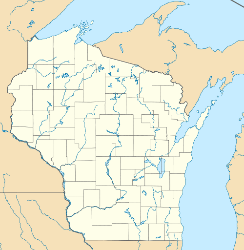 Sobieski Location within the state of Wisconsin | |
| Coordinates: 44°43′15″N 88°4′19″W / 44.72083°N 88.07194°WCoordinates: 44°43′15″N 88°4′19″W / 44.72083°N 88.07194°W | |
| Country | United States |
| State | Wisconsin |
| County | Oconto |
| Area | |
| • Total | 1.259 sq mi (3.26 km2) |
| • Land | 1.259 sq mi (3.26 km2) |
| • Water | 0 sq mi (0 km2) |
| Population (2010) | |
| • Total | 259 |
| • Density | 210/sq mi (79/km2) |
| Time zone | Central (CST) (UTC-6) |
| • Summer (DST) | CDT (UTC-5) |
| Area code(s) | 920 |
Sobieski, Wisconsin is an unincorporated census-designated place in Oconto County in northeastern Wisconsin, United States.[1][2] It is located within the town of Little Suamico. As of the 2010 census, its population is 259.[3] Sobieski is home to six taverns, a daycare center, a landfill and a Catholic church. It is part of the Green Bay Metropolitan Statistical Area. The Little Suamico Town Hall is located in Sobieski, just east of the Escanaba and Lake Superior railway.
Sobieski is located along County Trunk Highway S and Cross Road. Sandalwood Road and Krause Road also enter the community. The Little Suamico River flows just south of the St.Maximiliun parish cemetery. County S intersects with U.S. Route 141 about a half-mile east of Sobieski.
Notes
Municipalities and communities of Oconto County, Wisconsin, United States | ||
|---|---|---|
| Cities |  | |
| Villages | ||
| Towns | ||
| CDPs | ||
| Unincorporated communities | ||
| Indian reservation | ||
| Ghost town |
| |
| Footnotes | ‡This populated place also has portions in an adjacent county or counties | |