Abrams (CDP), Wisconsin
| Abrams, Wisconsin | |
|---|---|
| Census-designated place | |
 Abrams, Wisconsin | |
| Coordinates: 44°46′45″N 88°03′35″W / 44.77917°N 88.05972°WCoordinates: 44°46′45″N 88°03′35″W / 44.77917°N 88.05972°W | |
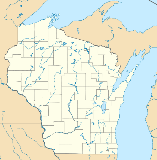
| Country | United States |
| State | Wisconsin |
| County | Oconto |
| Area | |
| • Total | 0.825 sq mi (2.14 km2) |
| • Land | 0.825 sq mi (2.14 km2) |
| • Water | 0 sq mi (0 km2) |
| Elevation | 676 ft (206 m) |
| Population (2010) | |
| • Total | 340 |
| • Density | 410/sq mi (160/km2) |
| Time zone | Central (CST) (UTC-6) |
| • Summer (DST) | CDT (UTC-5) |
| ZIP code | 54101 |
| Area code(s) | 920 |
| GNIS feature ID | 1560668[1] |
Abrams is an unincorporated community census-designated place located in the town of Abrams, Oconto County, Wisconsin, United States. Abrams is located near U.S. Route 41 and U.S. Route 141 8 miles (13 km) south-southeast of Oconto Falls. Abrams has a post office with ZIP code 54101.[2] As of the 2010 census, its population was 340.[3]
Notable people
- C. J. Greaves, off road racer
- Johnny Greaves, off-road racer
- Lyle Lahey, cartoonist
- Pee Wee King, pioneer in the country and western music industry; wrote "Tennessee Waltz" and was inducted into the Country Music Hall of Fame in 1974
- Bob Wickman, former relief pitcher for the New York Yankees, Milwaukee Brewers, Cleveland Indians, Atlanta Braves, and Arizona Diamondbacks
- Arthur J. Whitcomb, Wisconsin State Assemblyman and lawyer
References
- ↑ U.S. Geological Survey Geographic Names Information System: Abrams (CDP), Wisconsin
- ↑ ZIP Code Lookup Archived June 15, 2011, at the Wayback Machine.
- ↑ "American FactFinder". U.S. Census Bureau. Archived from the original on 23 April 2011. Retrieved 29 March 2011.
Municipalities and communities of Oconto County, Wisconsin, United States | ||
|---|---|---|
| Cities |  | |
| Villages | ||
| Towns | ||
| CDPs | ||
| Unincorporated communities | ||
| Indian reservation | ||
| Ghost town |
| |
| Footnotes | ‡This populated place also has portions in an adjacent county or counties | |
| Core city |  | |
|---|---|---|
| Largest municipalities over 10,000 in 2010 | ||
| Municipalities under 10,000 in 2010 | ||
| Counties | ||
This article is issued from Wikipedia - version of the 11/15/2016. The text is available under the Creative Commons Attribution/Share Alike but additional terms may apply for the media files.