Shaikh Rajada
| Shaikh Rajada | |
|---|---|
| village | |
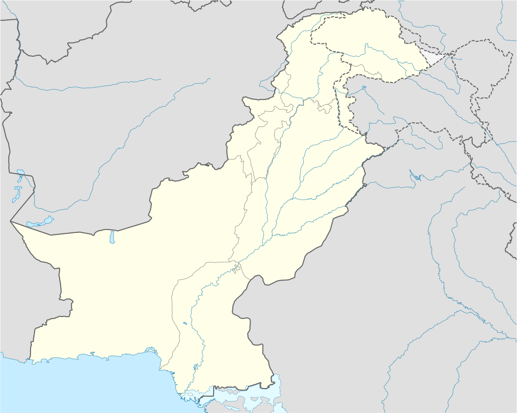 Shaikh Rajada Location of Shaikh Rajada in Pakistan | |
| Coordinates: PK 32°10′24″N 74°15′25″E / 32.173275°N 74.256828°ECoordinates: PK 32°10′24″N 74°15′25″E / 32.173275°N 74.256828°E | |
| Country | Pakistan |
| Province | Punjab |
| District | Gujjranwala |
| Tehsil | Gujranwala |
| Elevation | 229 m (751 ft) |
| Population | |
| • Total | 2,000 |
| Time zone | UTC+05:00 |
Shaikh Rajada, also spelled Shaikherjada, is a village on Pasroor Road in Gujranwala District in West Punjab (Pakistan), with a population of around 2000. The village is predominated by the Jatt people of Buttar community/clan. It is located at 32°10′20″N 75°15′30″E / 32.17222°N 75.25833°E.[1][2]
Culture
The villagers are mostly Muslims by religion and Punjabi is the mother tongue of the area.
Education
The village has two Govt. Primary Schools for boys and girls separately. However, since it is near to the city 50% of children are getting their education from the main city's school. The literacy rate of the village is nearly 60%.
Economy
The main source of income of families here is agriculture. Nearly 70% of population is, directly or indirectly, affiliated with agriculture. Main crops of the village are Rice/Wheat and strawberry. Being near to the main city Shaikh Rajada is growing very fast in terms of population. Moreover, the village is exposed to brick factories operating all around the village emitting black carbon. Black carbon is alleged to be one of the significant contributors to premature deaths and effects the crops of the village.
References
- ↑ "Shaikh Rajada - FallingRain Genomics Inc.". www.fallingrain.com. Retrieved 20 January 2012.
- ↑ "Shaikh Rajada, Punjab, Pakistan". www.maplandia.com. Retrieved 20 January 2012.