Sodhra
| Sodhra | |
|---|---|
 Sodhra | |
| Coordinates: 32°17′N 74°07′E / 32.28°N 74.11°ECoordinates: 32°17′N 74°07′E / 32.28°N 74.11°E | |
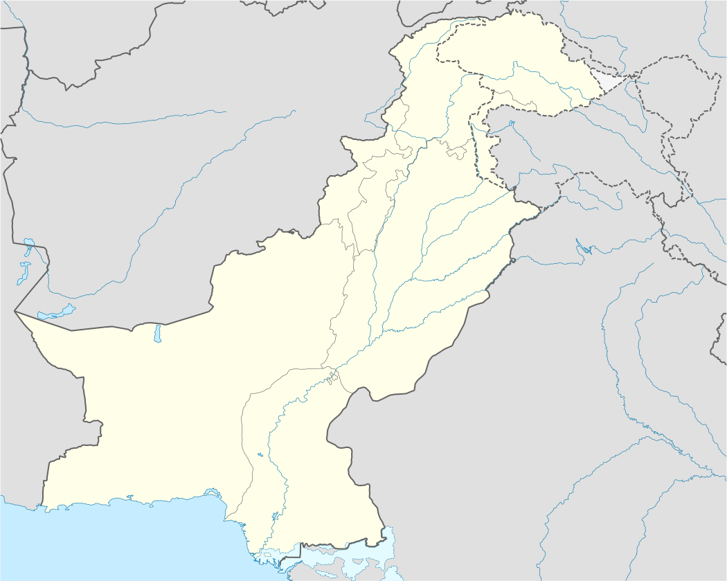
| Country |
|
| Elevation | 222 m (728 ft) |
| Time zone | PST (UTC+5) |
Sodhra is a town and Union council of Gujranwala District in the Punjab province of Pakistan. It is located at 32°28'0N 74°11'0E with an altitude of 222 metres (731 feet)[1] and is part of Wazirabad Tehsil.[2] The town lies on the left bank of the Chenab five miles east of the tehsil capital Wazirabad.[3]
History
During British rule, the town became part of Wazirabad Tehsil, and it was located on the route of the North-Western railway. According to the 1901 census, the population of the town was 5,050, and it was administered as a notified area. In 2010, the population of the town was more than 115,000 according to Mr. Hafiz Malik Awais, son of Malik Mohammed Nazeer, of kakeyzaian Sodhra. It is a place of some antiquity, and it had given its name to the Chenab or to that part of it which lies in the plains, prior to the invasion of Mahmud of Ghazni. The river then flowed close under the town in the north, but it is now over a mile away.[3]