Alipur Chatha
| Ali Pur Chattha Akkal Garh | |
|---|---|
| City | |
| Nickname(s): Akālgarh | |
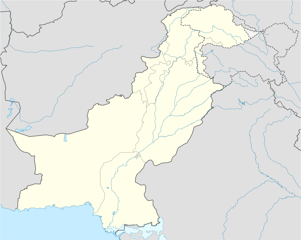 Ali Pur Chattha Location in Pakistan | |
| Coordinates: PK 32°56′00″N 73°13′00″E / 32.9333°N 73.2167°ECoordinates: PK 32°56′00″N 73°13′00″E / 32.9333°N 73.2167°E | |
| Country | Pakistan |
| Province | Punjab |
| District | Gujranwala |
| Tehsil | Wazirabad |
| Settled | 1867 |
| Elevation | 418 m (1,374 ft) |
| Time zone | PST (UTC+5) |
| • Summer (DST) | PDT (UTC+6) |
Ali Pur Chattha (Urdu: علی پور چٹھہ ) is a city and one of the 36 union councils of Wazirabad Tehsil of Gujranwala District in the Punjab province of Pakistan.[1] It contains ruins of the historical city of Akālgarh.
History
The municipality was created in 1867 during colonial rule. The city lies on the Wazirabad-Lyallpur branch of the North-Western Railway. The population, according to the 1901 census, was 4,961.[2]
The city was the residence of a family of Khattris of the Chopra clan, to which belonged the Diwan Sawan Mal and his son Mulraj, governors of Multan in the later days of Sikh rule.
Once in old days the city was walled and it had gates, there is only one gate present nowadays named as "Paki Deohri".
Wood crafted gates are marvelous in some havilies (houses). At present the city is expanding, new localities are being nourishing. However the old city is still a hub of business. Mostly, all the neighboring villagers come here for shopping of all kinds of things.
In old days outside the city were many ponds used as water reservoir. One of them is nowadays known as "Purana Talab" and other one was called "bara Dari".
Geography
Ali Pur Chattha is located at an elevation of 418 m (1374 ft).[3] It is situated nearly 37 km away in west from the Gujranwala, 24 km in north from Hafizabad and 6 km in south from Rasulnagar and Chenab River.[4]
The main crops of the town are rice, wheat, sugar cane and maize. Famous for inland fishery, approximately 35,000 acres (140 km²) of land are covered by fish ponds.
Education
Govt.Post Graduate Degree Colleges for boys and girls and other govt. and private institutes are situated in the city. And more private colleges situated in the city ®
Communication
A highway links Alipure Chatha with Gujranwala which is considered as the major road connection of the city with the rest of Pakistan. Another road goes from Alipure to Head Qadirabad which connects Gujranwala and Alipure to Phalia and Mandi Bahauddin. Alipure railway station is situated on Wazirabad-Faisalabad railway line.
See also
References
- ↑ "Towns & Unions in the City District of Gujranwala". nrb.gov.pk. National Reconstruction Bureau, Pakistan. Retrieved March 26, 2011.
- ↑ Akālgarh - Imperial Gazetteer of India, v. 5, p. 177.
- ↑ "Location of Alipur". fallingrain.com. Falling Rain Genomics. Retrieved March 26, 2011.
- ↑ "Town information for Alipur Chatha". worldbeachlist.com. Retrieved March 26, 2011.