Pontygwaith, Rhondda
- This article is about the village Pontygwaith in the Rhondda. For the Pontygwaith in Treharris see Pontygwaith.
| Pontygwaith | |
| Welsh: Pont-y-gwaith | |
 |
|
 Pontygwaith |
|
| OS grid reference | ST011941 |
|---|---|
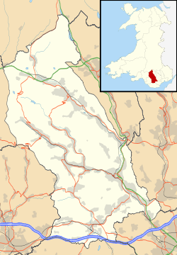
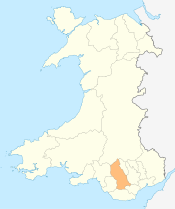
| Principal area | Rhondda Cynon Taf |
| Ceremonial county | Mid Glamorgan |
| Country | Wales |
| Sovereign state | United Kingdom |
| Post town | Ferndale |
| Postcode district | CF43 |
| Dialling code | 01443 |
| Police | South Wales |
| Fire | South Wales |
| Ambulance | Welsh |
| EU Parliament | Wales |
| UK Parliament | Rhondda |
| Welsh Assembly | Rhondda |
|
|
Coordinates: 51°38′16″N 3°25′49″W / 51.637676°N 3.430264°W
Pontygwaith (Welsh language: "Bridge to work" or "Bridge of the Ironworks") is a small village located in the Rhondda Fach valley in the county borough of Rhondda Cynon Taf, Wales.
History
Pontygwaith takes its name from a blast furnace built in the early 16th century, though by 1863 it was described as a shapeless ruin[1] The location of the furnace was at the north end of what today is Furnace Road and the only documented proof of the structure is in a contract drawn up in 1614 between John Hanbury of Pontypool and Richard ap Rhys of Llantrisant for the supply of charcoal to the "furnace of Penrees" (Penrhys).
Gwilym Elfed Davies, Labour Party Member of Parliament for Rhondda East 1959-74 and who went on to become elevated to the Peerage as Lord Davies of Penrhys, was born at Fenwick Street, Pontygwaith.
Transport
Between 1849 and 1856, the Taff Vale Railway opened the Maerdy Branch from Porth, including a station at Pontygwaith. Passenger services were withdrawn from Pontygwaith Halt in 1914 but passenger services continued along the line until 1964. The line closed completely after the last train in August 1986 after coal from Mardy Colliery was raised through Tower Colliery. Since 2005, the southern section from Porth to Pontygwaith is now the A4223 Porth and Lower Rhondda Fach Relief Road (Porth Bypass).[2] The upper section including the section passing Pontygwaith has become a branch of the Taff Trail cycleway.
References
- ↑ Historic Rhondda, An Archaeological and Topographical Survey 8000 BC - AD 1850, Paul R. Davis, Hackman (1989) pg. 34 ISBN 0-9508556-3-4
- ↑ http://demos.constructingexcellence.org.uk/userimages/Image322.pdf
Villages and towns of the Rhondda Valley | ||
|---|---|---|
| Rhondda Fawr | 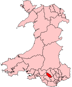 | |
| Rhondda Fach | ||