Plungar
| Plungar | |
 St Helen's Church, Plungar |
|
 Plungar |
|
| OS grid reference | SK768338 |
|---|---|
| – London | 100 mi (160 km) S |
| Civil parish | Redmile |
| Shire county | Leicestershire |
| Region | East Midlands |
| Country | England |
| Sovereign state | United Kingdom |
| Post town | NOTTINGHAM |
| Postcode district | NG13 |
| Police | Leicestershire |
| Fire | Leicestershire |
| Ambulance | East Midlands |
| EU Parliament | East Midlands |
| UK Parliament | Rutland and Melton |
|
|
Coordinates: 52°53′48″N 0°51′32″W / 52.8966°N 0.85887°W
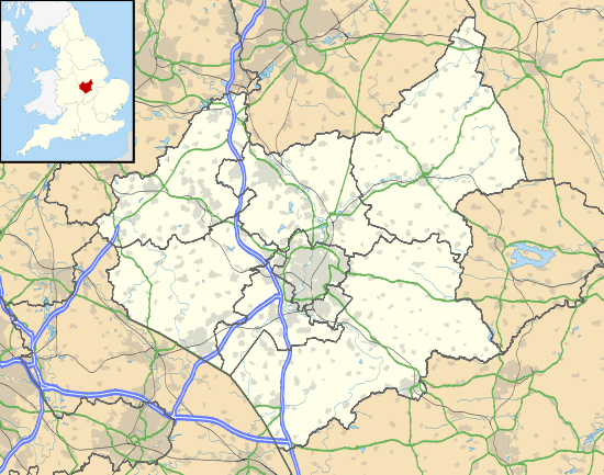
Plungar is a village in the Melton district of Leicestershire, England. It is situated approximately 9 miles (14 km) north from the market town of Melton Mowbray, 7 miles (11 km) west from Grantham, and in the Vale of Belvoir. The village forms part of the civil parish of Redmile (where the population is included), and sits adjacent to the Grantham Canal.
In 1936 the adjoining civil parishes of Barkestone and Redmile were merged with Plungar to form the parish of Redmile. The parish, sometimes known as 'Barkestone, Plungar and Redmile', had a population of 829 in 2001.[1]
To the east of Plungar, in the neighbouring county of Nottinghamshire, is the site of the disused RAF Plungar, which was a base for No. 38 and No. 90 squadrons.[2] A plaque at Plungar is dedicated to the crew of six of a Lancaster bomber which crashed near Plungar in 1943.[3][4] An obelisk memorial to the dead of the First and Second World Wars is on Harby Road, Plungar.[5]
The parish church of St Helen dates from the 14th century with later additions in the 15th. The church was repaired in 1829, and rebuilding work in 1855–56 added a chapel and replaced the south aisle. The church was listed as Grade II* in 1968.[6][7]

The village public house is The Anchor, close to the Grantham Canal.[8]
In 1870 Plungar was a village and civil parish, and part of the district of Bingham. Parish area was 1,310 acres (5.3 km2) with a population of 251, and 59 houses. At the time a Wesleyan chapel was recorded. A number of Plungar children were educated at a free school in Barkestone.[7] The school was of two rooms with a school house for a master and mistress. In 1830 the school had taught 14 children from Barkestone, and 12 from Plungar, chosen by parish churchwardens. The lord of the manor was the Duke of Rutland. Population in 1830 was 280, with occupations including seven farmers, two tailors, two shoemakers, a bricklayer, a shopkeeper, a blacksmith, a wheelwright, a lace maker, an auctioneer, and the landlord of The Anchor public house. There was also the parish curate and a gentleman.[9]
References
- ↑ "Census 2001 Parish profile", Leicestershire County Council. Retrieved 2 December 2014
- ↑ "Plungar", Airfields of Britain Conservation Trust. Retrieved 2 December 2014
- ↑ "Plungar bomber crew memorial unveiled", BBC News, 22 September 2012. Retrieved 2 December 2014
- ↑ "Thanks given to man who saved crash pilot", Melton Times, 30 January 2013. Retrieved 2 December 2014
- ↑ "Frog Lane, Harby Road - Plungar", War memorials project, Leicestershire County Council. Retrieved 2 December 2014
- ↑ Historic England. "Church of St Helen (Grade II*) (1075010)". National Heritage List for England. Retrieved 2 December 2014.
- 1 2 Wilson, John Marius. Imperial Gazetteer of England and Wales (1870–72)
- ↑ "The Anchor ~ Plungar", Grantham Canal.com. Retrieved 2 December 2014
- ↑ White, William (1830) History, gazetteer, and directory of Leicestershire, and the small County of Rutland, pp. 213, 255
External links
 Media related to Plungar, Leicestershire at Wikimedia Commons
- Barkestone Plungar & Redmile Parish Council web site, Leicestershire and Rutland Parish Councils
- "Plungar", Genuki
England Portal | |
| Unitary authorities | |
| Boroughs or districts | |
| Major settlements | |
| Topics | |