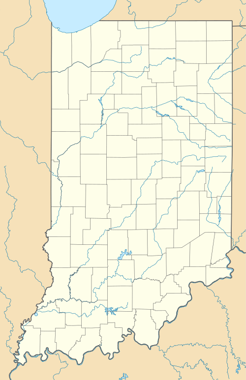
Pinhook, Lawrence County, Indiana
| Pinhook | |
|---|---|
| Unincorporated community | |
 Pinhook  Pinhook | |
| Coordinates: 38°48′55″N 86°21′23″W / 38.81528°N 86.35639°WCoordinates: 38°48′55″N 86°21′23″W / 38.81528°N 86.35639°W | |
| Country | United States |
| State | Indiana |
| County | Lawrence |
| Township | Guthrie |
| Elevation[1] | 679 ft (207 m) |
| ZIP code | 47421 |
| FIPS code | 18-60120[2] |
| GNIS feature ID | 441169 |
Pinhook is a small unincorporated farming community in Guthrie Township, Lawrence County, Indiana. It consists of two churches (Pinhook Church of Christ and Pinhook Christian Church), a cemetery, and several small farms and homesteads.
Two legends describe how Pinhook got its unique name. One states that because the roads leading to it are quite curvy, they reminded people of hooked pins. The other states that the local general store, around 1900, had lost its liquor license, and in order to keep serving alcohol hooked pins around drink glasses. The proprietor would then sell these "Pin-Hooked" glasses, and throw in a drink for good measure.
Geography
Pinhook is located at 38°48′55″N 86°21′23″W / 38.81528°N 86.35639°W.
References
- ↑ "US Board on Geographic Names". United States Geological Survey. 2007-10-25. Retrieved 2008-01-31.
- ↑ "American FactFinder". United States Census Bureau. Retrieved 2008-01-31.
This article is issued from Wikipedia - version of the 7/31/2016. The text is available under the Creative Commons Attribution/Share Alike but additional terms may apply for the media files.