Mtwara Airport
| Mtwara Airport Uwanja wa Ndege wa Mtwara (Swahili) | |||||||||||||||
|---|---|---|---|---|---|---|---|---|---|---|---|---|---|---|---|
 | |||||||||||||||
|
IATA: MYW – ICAO: HTMT – WMO: 63971 | |||||||||||||||
| Summary | |||||||||||||||
| Airport type | Public | ||||||||||||||
| Owner | Government of Tanzania | ||||||||||||||
| Operator | Tanzania Airports Authority | ||||||||||||||
| Location | Mtwara, Tanzania | ||||||||||||||
| Focus city for | Mtwara | ||||||||||||||
| Elevation AMSL | 371 ft / 113 m | ||||||||||||||
| Coordinates | 10°20′10″S 40°10′55″E / 10.33611°S 40.18194°ECoordinates: 10°20′10″S 40°10′55″E / 10.33611°S 40.18194°E | ||||||||||||||
| Map | |||||||||||||||
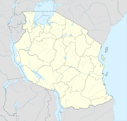 MYW Location of airport in Tanzania | |||||||||||||||
| Runways | |||||||||||||||
| |||||||||||||||
| Statistics (2015) | |||||||||||||||
| |||||||||||||||
|
Sources: TCAA[1] | |||||||||||||||
Mtwara Airport (IATA: MYW, ICAO: HTMT) is an airport in southern Tanzania serving the town of Mtwara.[2]
Location
The airport is located in Mtwara Region, about 8 kilometres (5.0 mi), by road, south of the town of Mtwara.[3] This is about 568 kilometres (353 mi), by road and 400 kilometres (249 mi), by air, south of Julius Nyerere International Airport, the largest airport in Tanzania.[4] The coordinates of Mtwara Airport are 10°20'10.0"S, 40°10'55.0"E (Latitude:-10.336111; Longitude:40.181944).[5]
Overview
The Mtwara non-directional beacon (Ident: MT) is located on the field.[6][7] The airport lies at an average elevation of 371 feet (113 m) above sea level.[8] The airport has two runways, the longest of which is asphalt surfaced and measures 7,410 feet (2,259 m) long and 98 feet (30 m) wide.[8]
Airlines and destinations
| Airlines | Destinations |
|---|---|
| Precision Air | Dar es Salaam |
Accidents and incidents
- 27 August 1975: Douglas C-47B 5Y-AAF of East African Airways was damaged beyond economic repair in a landing accident. The aircraft was on a scheduled passenger flight. All 19 people on board survived.[9]
See also
 Tanzania portal
 Aviation portal
- List of airports in Tanzania
- Transport in Tanzania
References
- ↑ TAA (2015). "Tanzania airport traffic statistics until 2015". Dar es Salaam: Tanzania Airports Authority (TAA). Retrieved 11 August 2016.
- ↑ Centre for Aviation (20 September 2016). "Mtwara Airport, Tanzania: Profile". Centreforaviation.com (Centre for Aviation). Retrieved 20 September 2016.
- ↑ Globefeed.com (20 September 2016). "Distance between Mtwara Post Office, Mtwara, Mtwara Region, Tanzania and Mtwara Airport, Mtwara, Mtwara Region, Tanzania". Globefeed.com. Retrieved 20 September 2016.
- ↑ Globefeed.com (20 September 2016). "Distance between Julius Nyerere International Airport, Julius K. Nyerere Road, Dar es Salaam, Tanzania and Mtwara Airport, Mtwara, Mtwara Region, Tanzania". Globefeed.com. Retrieved 20 September 2016.
- ↑ Google (20 September 2016). "Location of Mtwara Airport, Mtwara Region, Tanzania" (Map). Google Maps. Google. Retrieved 20 September 2016.
- ↑ Mtwara NDB
- ↑ SkyVector Aeronautical Charts
- 1 2 Great Circle Mapper (20 September 2016). "Detailed Information About Mtwara Airport". Gcmap.com (Great Circle Mapper). Retrieved 20 September 2016.
- ↑ "5Y-AAF Accident description". Aviation Safety Network. Retrieved 21 August 2010.