Mpanda Airport
| Mpanda Airport Uwanja wa Ndege wa Mpanda (Swahili) | |||||||||||
|---|---|---|---|---|---|---|---|---|---|---|---|
| IATA: none – ICAO: HTMP | |||||||||||
| Summary | |||||||||||
| Airport type | Public | ||||||||||
| Owner | Government of Tanzania | ||||||||||
| Operator | Tanzania Airports Authority | ||||||||||
| Location | Mpanda, Tanzania | ||||||||||
| Elevation AMSL | 3,565 ft / 1,087 m | ||||||||||
| Coordinates | 6°21′20″S 31°4′50″E / 6.35556°S 31.08056°ECoordinates: 6°21′20″S 31°4′50″E / 6.35556°S 31.08056°E | ||||||||||
| Map | |||||||||||
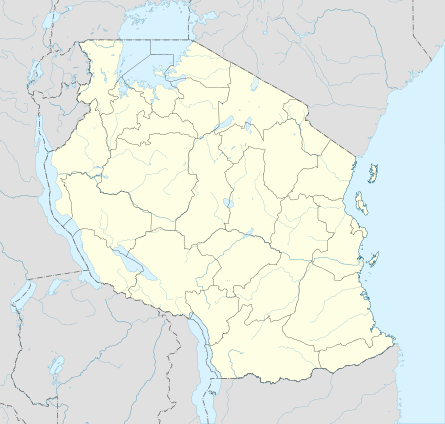 HTMP Location of airport in Tanzania | |||||||||||
| Runways | |||||||||||
| |||||||||||
Mpanda Airport (ICAO: HTMP) is an airport in western Tanzania serving the town of Mpanda and the surrounding Katavi Region. It is on the southeastern side of the town. The UN Refugee Agency UNHCR helped the Government of Tanzania to finance the upgrade of the airstrip into an airport as a gesture of its appreciation for hosting Burundian refugees for more than 30 years.[4][5]
The airport was officially opened by the Tanzanian Vice President Mohamed Gharib Bilal on 24 November 2012.[6] The airport will help improve access to the Katavi National Park.
Airlines and destinations
| Airlines | Destinations |
|---|---|
| Auric Air | Kigoma, Mwanza |
See also
 Tanzania portal
 Aviation portal
- List of airports in Tanzania
- Transport in Tanzania
References
- ↑ Airport information for HTMP at Great Circle Mapper.
- ↑ "List of Aerodromes in Tanzania" (PDF). Tanzania Civil Aviation Authority. Retrieved 4 April 2013.
- ↑ Google Maps - Mpanda
- ↑ "Mpanda Airport ready by mid next year". Daily News (Tanzania). 22 December 2010. Retrieved 23 January 2013.
- ↑ "Pinda inaugurates Mpanda airport". Daily News (Tanzania). 22 December 2008. Retrieved 23 January 2013.
- ↑ "Vice President opens Mpanda Airport". Daily News (Tanzania). 25 November 2012. Retrieved 23 January 2013.
External links
This article is issued from Wikipedia - version of the 12/5/2016. The text is available under the Creative Commons Attribution/Share Alike but additional terms may apply for the media files.