Nachingwea Airport
| Nachingwea Airport Uwanja wa Ndege wa Nachingwea (Swahili) | |||||||||||
|---|---|---|---|---|---|---|---|---|---|---|---|
|
IATA: NCH – ICAO: HTNA – WMO: 63969 | |||||||||||
| Summary | |||||||||||
| Airport type | Public | ||||||||||
| Owner | Government of Tanzania | ||||||||||
| Operator | Tanzania Airports Authority | ||||||||||
| Location | Nachingwea, Tanzania | ||||||||||
| Elevation AMSL | 1,400 ft / 427 m | ||||||||||
| Coordinates | 10°21′25″S 38°46′45″E / 10.35694°S 38.77917°ECoordinates: 10°21′25″S 38°46′45″E / 10.35694°S 38.77917°E | ||||||||||
| Map | |||||||||||
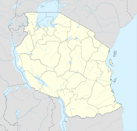 NCH Location of airport in Tanzania | |||||||||||
| Runways | |||||||||||
| |||||||||||
Nachingwea Airport (IATA: NCH, ICAO: HTNA) is an airport in southern Tanzania serving Nachingwea. It is on the northeast side of the town.
See also
 Tanzania portal
 Aviation portal
- List of airports in Tanzania
- Transport in Tanzania
References
- ↑ "List of Aerodromes in Tanzania" (PDF). Tanzania Civil Aviation Authority. Retrieved 4 April 2013.
- ↑ Airport information for NCH at Great Circle Mapper.
- ↑ Google Maps - Nachingwea
This article is issued from Wikipedia - version of the 12/5/2016. The text is available under the Creative Commons Attribution/Share Alike but additional terms may apply for the media files.