Mount Munday
| Mount Munday | |
|---|---|
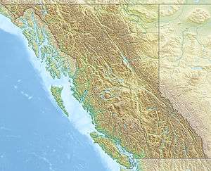 Mount Munday Location in British Columbia | |
| Highest point | |
| Elevation | 3,356 m (11,010 ft) [1] |
| Prominence | 426 m (1,398 ft) [1] |
| Coordinates | 51°19′43″N 125°12′58″W / 51.32861°N 125.21611°WCoordinates: 51°19′43″N 125°12′58″W / 51.32861°N 125.21611°W [1] |
| Geography | |
| Location | British Columbia, Canada |
| Parent range | Waddington Range, Pacific Ranges |
| Topo map | NTS 92N/06 |
| Climbing | |
| First ascent | 1930 D. Munday & P. Munday[1] |
| Easiest route | rock/ice climb |
Mount Munday is one of the principal summits of the Pacific Ranges of the Coast Mountains in British Columbia, Canada. It is 3,356 m (11,010 ft) in elevation and stands in the Waddington Range six kilometres southeast of Mount Waddington 4,019 m (13,186 ft), which is the highest summit in the Coast Mountains.
The peak was named by pioneering climbers Don and Phyllis Munday who first climbed it explored and charted much of the southern Coast Mountains, including much of western Garibaldi Provincial Park near Whistler but also many remote peaks lesser-known than those near the resort. The Mundays were the discoverers of Mount Waddington, formerly dubbed by them Mystery Mountain; they originally spotted it from Mount Arrowsmith on Vancouver Island but explored the Waddington Range in the hope of locating and measuring it, although someone else performed its first ascent.
References
- 1 2 3 4 "Mount Munday". Bivouac.com. Retrieved 2005-11-06.