Brandywine Mountain
| Brandywine Mountain | |
|---|---|
 Brandywine Mountain | |
| Highest point | |
| Elevation | 2,213 m (7,260 ft) [1] |
| Prominence | 428 m (1,404 ft) [1] |
| Coordinates | 50°06′52″N 123°13′16″W / 50.11444°N 123.22111°WCoordinates: 50°06′52″N 123°13′16″W / 50.11444°N 123.22111°W [2] |
| Geography | |
 Brandywine Mountain | |
| Parent range | Pacific Ranges |
| Topo map | NTS 92J/03 |
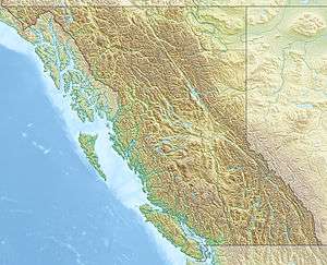
Brandywine Mountain, 2,213 m or 7,260 ft, is a summit in the Powder Mountain Icefield of the Pacific Ranges of the Coast Mountains of southwestern British Columbia, Canada, about 25 km (16 mi) west of the resort town of Whistler.
Its name is derived from that of Brandywine Falls, which was the result of a bet over the falls' height (with the wagers being a bottle of wine and a bottle of brandy).
See also
References
- 1 2 "Brandywine Mountain". Bivouac.com. Retrieved 2008-08-20.
- ↑ "Brandywine Mountain". BC Geographical Names. Retrieved 2008-08-20.
This article is issued from Wikipedia - version of the 9/7/2015. The text is available under the Creative Commons Attribution/Share Alike but additional terms may apply for the media files.