Marrowbone Township, Moultrie County, Illinois
| Marrowbone Township | |
| Township | |
| Country | United States |
|---|---|
| State | Illinois |
| County | Moultrie |
| Elevation | 656 ft (199.9 m) |
| Coordinates | 39°38′12″N 88°45′30″W / 39.63667°N 88.75833°WCoordinates: 39°38′12″N 88°45′30″W / 39.63667°N 88.75833°W |
| Area | 39.54 sq mi (102.4 km2) |
| - land | 38.98 sq mi (101 km2) |
| - water | 0.56 sq mi (1 km2) |
| Population | 1,730 (2010) |
| Density | 44.4/sq mi (17.1/km2) |
| Settled | November 6, 1866 |
| Timezone | CST (UTC-6) |
| - summer (DST) | CDT (UTC-5) |
 Location in Moultrie County | |
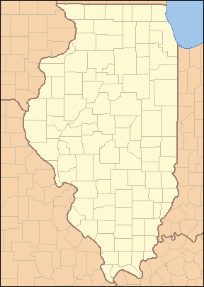 Location of Marrowbone Township in Illinois | |
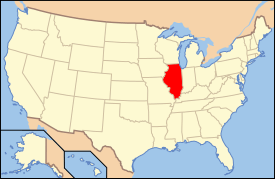 Location of Illinois in the United States | |
Marrowbone Township is located in Moultrie County, Illinois. As of the 2010 census, its population was 1,730 and it contained 751 housing units.[1]
History
What is now Marrowbone Twp. was part of Shelby County when first settled in 1828. Upon establishment of Moultrie County in 1843, the township formed part of Thomason Precinct. Marrowbone Twp. was established on November 6, 1866, when the County adopted townships as its basic subdivision.
Geography
According to the 2010 census, the township has a total area of 39.54 square miles (102.4 km2), of which 38.98 square miles (101.0 km2) (or 98.58%) is land and 0.56 square miles (1.5 km2) (or 1.42%) is water.[1]
References
- 1 2 "Population, Housing Units, Area, and Density: 2010 - County -- County Subdivision and Place -- 2010 Census Summary File 1". United States Census. Retrieved 2013-05-28.
External links
Municipalities and communities of Moultrie County, Illinois, United States | ||
|---|---|---|
| Cities | ||
| Villages | ||
| Townships | ||
| Unincorporated communities | ||
| Footnotes | ‡This populated place also has portions in an adjacent county or counties | |

This article is issued from Wikipedia - version of the 9/4/2016. The text is available under the Creative Commons Attribution/Share Alike but additional terms may apply for the media files.