Marechal Floriano
| Marechal Floriano | |
|---|---|
| Municipality | |
 Location in Espírito Santo state | |
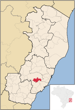
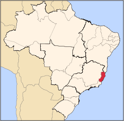
 Marechal Floriano Location in Brazil | |
| Coordinates: 20°24′46″S 40°40′58″W / 20.41278°S 40.68278°WCoordinates: 20°24′46″S 40°40′58″W / 20.41278°S 40.68278°W | |
| Country |
|
| Region | Southeast Region |
| State | Espírito Santo |
| Area | |
| • Total | 285 km2 (110 sq mi) |
| Population (2015) | |
| • Total | 16,127 |
| • Density | 57/km2 (150/sq mi) |
| Time zone | BRT/BRST (UTC-3/-2) |
Marechal Floriano is the capital of a municipality of the same name, in the state of Espírito Santo, Brazil. Once part of the municipality of Domingos Martins, the town of Marechal Floriano separated on October 31, 1991, becoming capital of its own municipality. Marechal Floriano is just over 60 km from Vitória, the capital of the state, and situated in the southeastern Brazilian Highlands. The surrounding municipalities are to the north, Domingos Martins, and to the south, Guarapari and Alfredo Chaves. The capital stands at 544 meters above sea level. Local average temperatures vary between 6 and 30 degrees Celsius.
Its population was 16,127 (2015) and its area is 285 km².[1]
Known locally, and promoted as the "Town of Orchids", it cultivates and sells many such plants. It was given its name in honour of Field Marshal (in Portuguese: "Marechal") Floriano Peixoto, the first vice-president of the Brazilian Republic.
References
Capital: Vitória | ||||||||||||||||
| Mesoregion Central |
|  | ||||||||||||||
| Mesoregion Litoral Norte |
| |||||||||||||||
| Mesoregion Noroeste |
| |||||||||||||||
| Mesoregion Sul |
| |||||||||||||||