Alegre, Espírito Santo
| Alegre | |
|---|---|
| Municipality | |
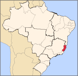
 Alegre Location in Brazil | |
| Coordinates: 20°45′50″S 41°31′58″W / 20.76389°S 41.53278°WCoordinates: 20°45′50″S 41°31′58″W / 20.76389°S 41.53278°W | |
| Country |
|
| Region | Southeast Region |
| State | Espírito Santo |
| Area | |
| • Total | 772 km2 (298 sq mi) |
| Population (2015) | |
| • Total | 32,205 |
| • Density | 42/km2 (110/sq mi) |
| Time zone | BRT/BRST (UTC-3/-2) |
Alegre is a municipality located in the Brazilian state of Espírito Santo. Its population was 32,205 (2015) and its area is 772 km² (298 sq mi).[1]
The municipality contains the Cachoeira da Fumaça State Park, created in 1984.[2]
References
- ↑ IBGE -
- ↑ Cachoeira da Fumaça (in Portuguese), Alegre Municipality, 25 January 2013, retrieved 2016-10-25
Capital: Vitória | ||||||||||||||||
| Mesoregion Central |
|  | ||||||||||||||
| Mesoregion Litoral Norte |
| |||||||||||||||
| Mesoregion Noroeste |
| |||||||||||||||
| Mesoregion Sul |
| |||||||||||||||
This article is issued from Wikipedia - version of the 10/25/2016. The text is available under the Creative Commons Attribution/Share Alike but additional terms may apply for the media files.