Lunga, Treshnish Isles
| Gaelic name | Lungaigh |
|---|---|
| Norse name | langr-øy |
| Meaning of name | "(long)ship island", from Norse |
| Location | |
 Lunga Lunga shown within Argyll and Bute | |
| OS grid reference | NM278419 |
| Physical geography | |
| Island group | Treshnish Isles |
| Area | 81 hectares (0.31 sq mi) |
| Area rank | 161 [1] |
| Highest elevation | Cruachan 103 m (338 ft) |
| Administration | |
| Sovereign state | United Kingdom |
| Country | Scotland |
| Council area | Argyll and Bute |
| Demographics | |
| Population | 0 |
| References | [2][3][4][5][6] |
The island of Lunga is the largest of the Treshnish Isles in Argyll and Bute, Scotland.
History
Of volcanic origin, Lunga has been described as 'a green jewel in a peacock sea'.[3] Populated until the 19th century Lunga still bears the remains of blackhouses. To the northeast of the island lie the remains of the ruined village, which was abandoned in 1857.[7]
Wildlife

Lunga is designated a Site of Special Scientific Interest because of its abundant plant life. Many rare and endangered plants are native to the island. Plants include primrose, birdsfoot trefoil, orchids, sea campion, sea thrift, sea pinks, yellow flags, tormentil and oyster plant.[3] Grey seals inhabit the waters surrounding the island, while birdlife includes storm-petrels, kittiwakes and Manx shearwaters. Guillemot, puffin and razorbills breed on Lunga and on the Harp Rock, a sea stack separated by a narrow gut. Barnacle geese appear each winter.[3]
In summer, tourist boats visit Lunga from Ulva Ferry. The main attraction is the many thousands of breeding puffins which allow visitors to approach to within a few feet of them.
Footnotes
- ↑ Area and population ranks: there are c. 300 islands over 20 ha in extent and 93 permanently inhabited islands were listed in the 2011 census.
- ↑ 2001 UK Census per List of islands of Scotland
- 1 2 3 4 Haswell-Smith, Hamish (2004). The Scottish Islands. Edinburgh: Canongate. ISBN 978-1-84195-454-7.
- ↑ Ordnance Survey
- ↑ Iain Mac an Tailleir. "Placenames" (PDF). Pàrlamaid na h-Alba. Retrieved 2007-07-28.
- ↑ "Regions of Scotland and Gaelic Names" (PDF). Retrieved 2007-08-01.
- ↑ "Overview of Lunga". Gazetteer for Scotland. Retrieved 2007-07-28.
External links
| Wikimedia Commons has media related to Lunga (Argyll and Bute). |
Inhabited islands of the Hebrides | ||
|---|---|---|
| Inner Hebrides | 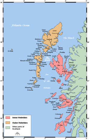 | |
| Outer Hebrides | ||
Coordinates: 56°29′27″N 6°25′18″W / 56.49083°N 6.42167°W